
Stafford Springs, human settlement in Connecticut, the United States of America
Location: Stafford
Location: Tolland County
Elevation above the sea: 155 m
GPS coordinates: 41.95340,-72.30300
Latest update: April 25, 2025 09:52
Bigelow Hollow State Park
15.4 km
Hop River State Park Trail
7.4 km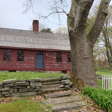
Daniel Benton Homestead
12.9 km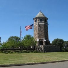
The Tower on Fox Hill
15.4 km
Sonny's Place
14.2 km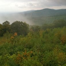
Shenipsit State Forest
7.4 km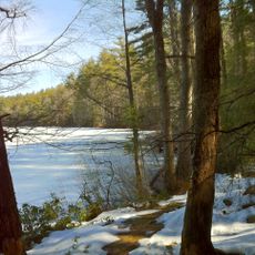
Nipmuck State Forest
15 km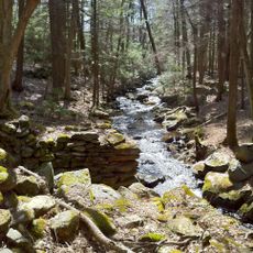
Natchaug State Forest
15 km
St. Bernard Church
15.2 km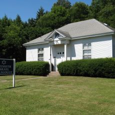
Congregation Knesseth Israel
15.9 km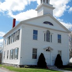
Tolland County Courthouse
10.6 km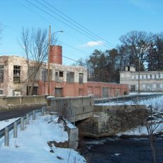
Omega Metal Processing
15.2 km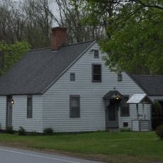
Thornton W. Burgess House
14.9 km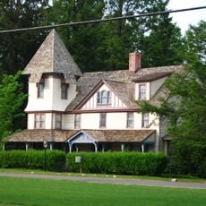
Tolland Green Historic District
11.1 km
Somersville Historic District
15.8 km
Florence Mill
16 km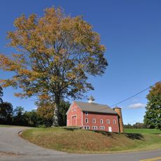
Farwell Barn
15.6 km
Somers Historic District
12.4 km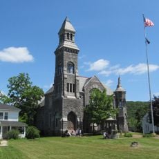
Memorial Town Hall
16.1 km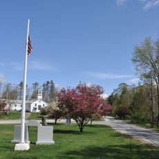
Union Green Historic District
12.5 km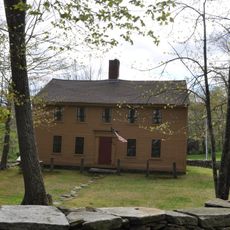
John Cady House
15.8 km
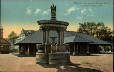
Holt Memorial Fountain
24 m
Minterburn Mill
14.4 km
Ellington Center Historic District
15 km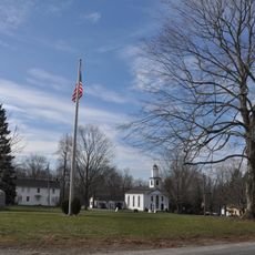
Willington Common Historic District
9.3 km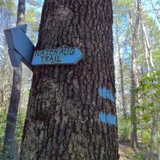
Natchaug Trail
15 km
Knowlton Memorial Hall
16.2 km
Rockville Historic District
15.8 kmReviews
Visited this place? Tap the stars to rate it and share your experience / photos with the community! Try now! You can cancel it anytime.
Discover hidden gems everywhere you go!
From secret cafés to breathtaking viewpoints, skip the crowded tourist spots and find places that match your style. Our app makes it easy with voice search, smart filtering, route optimization, and insider tips from travelers worldwide. Download now for the complete mobile experience.

A unique approach to discovering new places❞
— Le Figaro
All the places worth exploring❞
— France Info
A tailor-made excursion in just a few clicks❞
— 20 Minutes