Chest opened
+${chestReward.xp} XP
Explorer
NOUVEAU ×${chestReward.collectible.quantity}
tapez pour fermer

See the monuments around you in AR Open chests in the app

Around Us is built for your phone — point your camera at the streets and discover the monuments and places around you in augmented reality. Around Us is built for your phone — chests unlock when you walk, explore and capture nearby places.

Enable Location

We need your location to show you interesting places around you

Discover nearby places

Find interesting locations and hidden gems around you

Precise directions

Get accurate directions and distances to places

Your location is never shared with other users. It's only used when you tap the location button.

West Milton Bridge

Log in to your account

Start exploring — it's free

Trusted by 87,009 travelers worldwide

Continue with Google
Continue with Apple
or

We will send you a code to connect

By continuing, you accept our Terms and Conditions and our Privacy Policy

Check your inbox

We've sent a pincode in your inbox. Please enter the code below.

Discussion Reviews 1 Photos
1.2k Popularity

West Milton Bridge, Historic steel girder bridge in Milton, Vermont

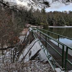
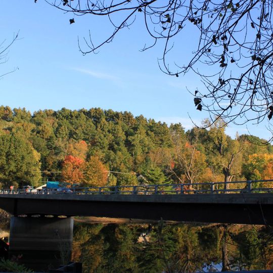
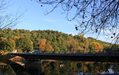
The West Milton Bridge is a steel girder structure crossing the Lamoille River and linking both sides of Bear Trap Road in Milton. Built in 2014, it provides a vital passage for vehicle traffic through the area.

The original bridge was built in 1902 as a Pennsylvania truss design manufactured by American Bridge Company and assembled on site by United Construction Company. It survived the devastating floods of 1927 before eventually being replaced with a modern steel structure.

The structure maintains its status on the National Register of Historic Places as part of the Metal Truss, Masonry, and Concrete Bridges collection in Vermont.

The bridge is passable for vehicle traffic year-round and offers views of the Lamoille River toward Lake Champlain. It was designed to remain stable even during high water periods.

The original trusses from the 1902 structure were preserved and repurposed elsewhere as a multi-use trail. These metal components remain a significant example of Vermont engineering and craftsmanship from the early 1900s.

The community of curious travelers

AroundUs brings together thousands of curated places, local tips, and hidden gems, enriched daily by 60,000 contributors worldwide.
Start exploring
Location
GPS coordinates
44.63222,-73.17167
Latest update
September 11, 2026 22:36
Around this place
Ethan Allen Homestead
United States of America

Ethan Allen Homestead

9.1 mi
Old Ohavi Zedek Synagogue
United States of America

Old Ohavi Zedek Synagogue

10.1 mi
Winooski Falls Mill District
United States of America

Winooski Falls Mill District

9.9 mi
Sand Bar State Park
United States of America

Sand Bar State Park

3.4 mi
Ohavi Zedek
United States of America

Ohavi Zedek

10.2 mi
Indian Brook Reservoir
United States of America

Indian Brook Reservoir

7.6 mi
Methodist Episcopal Church of Winooski
United States of America

Methodist Episcopal Church of Winooski

9.8 mi
WCAT Radio Tower
United States of America

WCAT Radio Tower

9.6 mi
Maple Street Covered Bridge
United States of America

Maple Street Covered Bridge

8.2 mi
Browns River Covered Bridge
United States of America

Browns River Covered Bridge

8.2 mi
Georgia Plain Baptist Church
United States of America

Georgia Plain Baptist Church

6.1 mi
Ballard Farm
United States of America

Ballard Farm

6 mi
Downtown Essex Junction Commercial Historic District
United States of America

Downtown Essex Junction Commercial Historic District

10.1 mi
Congregational Church-Grand Isle
United States of America

Congregational Church-Grand Isle

8.7 mi
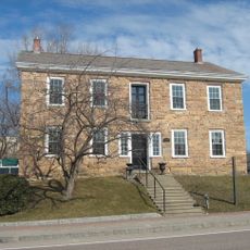
Old Stone House
United States of America

Old Stone House

9.8 mi
Normand House
United States of America

Normand House

10.1 mi
Winooski Block
United States of America

Winooski Block

9.8 mi
Porter Screen Company
United States of America

Porter Screen Company

9.6 mi
District No. 2 School
United States of America

District No. 2 School

8.6 mi
Charles R. Palmer House
United States of America

Charles R. Palmer House

10.2 mi
District No. 8 School
United States of America

District No. 8 School

7.3 mi
Mintzer House
United States of America

Mintzer House

10.1 mi
Gordon-Center House
United States of America

Gordon-Center House

9 mi
LeFerriere House
United States of America

LeFerriere House

10.1 mi
Solomon Goodrich Homestead
United States of America

Solomon Goodrich Homestead

8.1 mi
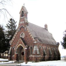
Howard Mortuary Chapel
United States of America

Howard Mortuary Chapel

10 mi
United States of America

Roswell Butler House

9.5 mi
Hyde Log Cabin
United States of America

Hyde Log Cabin

8.4 mi
Show the full map
Reviews
Share your experience

No review yet

Discussions
Start a discussion...

No discussion yet

« West Milton Bridge - Historic steel girder bridge in Milton, Vermont » is provided by Around Us (aroundus.com). Images and texts are derived from Wikimedia project under a Creative Commons license. You are allowed to copy, distribute, and modify copies of this page, under the conditions set by the license, as long as this note is clearly visible.

Discover hidden gems everywhere you go!

From secret cafés to breathtaking viewpoints, skip the crowded tourist spots and find places that match your style. Our app makes it easy with voice search, smart filtering, route optimization, and insider tips from travelers worldwide. Download now for the complete mobile experience.
Around Us App Screenshot

A unique approach to discovering new places

Le Figaro

All the places worth exploring

France Info

A tailor-made excursion in just a few clicks

20 Minutes

Around Us
Travel Guide & Maps
Download

Send to your phone

QR Code
1

Open the camera app on your mobile.

2

Point at the QR code with your camera. A notification will appear.

3

Tap the notification to open the link.