
Farmington Canal Lock, dam in New Haven County, Connecticut, United States of America
Location: New Haven County
Elevation above the sea: 44 m
GPS coordinates: 41.47833,-72.92139
Latest update: March 30, 2025 21:01
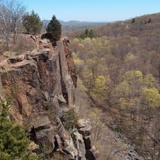
Sleeping Giant
5.9 km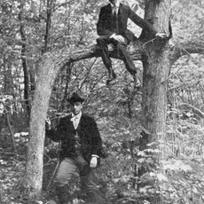
Door Tree
7.6 km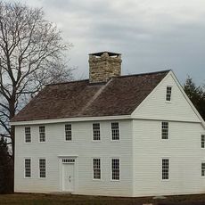
Nehemiah Royce House
9.1 km
Paul Mellon Arts Center
9.6 km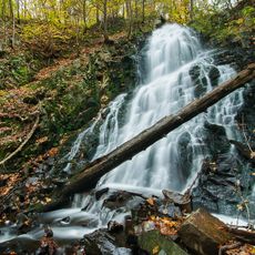
Roaring Brook Falls
1.8 km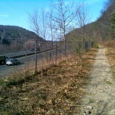
Naugatuck Trail
9.7 km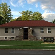
Ireland’s Great Hunger Museum
8.4 km
Wharton Brook State Park
9.3 km
Quinnipiac River State Park
8.4 km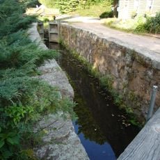
Farmington Canal State Park Trail
147 m
Mount Sanford
2.9 km
Red Bridge
8.4 km
Samuel Simpson House
9 km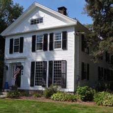
Levi B. Frost House
10 km
Jonathan Dickerman II House
6.8 km
Kohler Environmental Center
10.6 km
Franklin Johnson House
8.9 km
Barnes-Frost House
9.7 km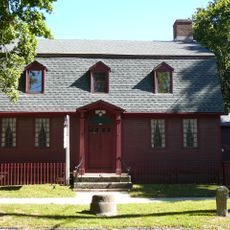
Samuel Parsons House
8.9 km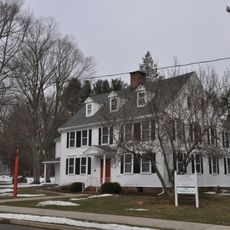
Cheshire Historic District
2.8 km
Prospect Green Historic District
5.4 km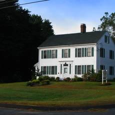
David Hotchkiss House
6.5 km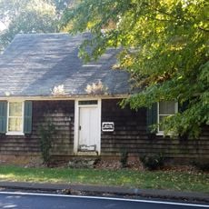
Elam Ives House
8.6 km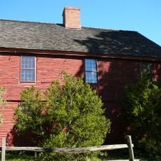
Theophilus Jones House
6.7 km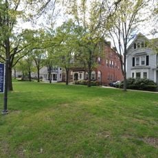
Wallingford Center Historic District
8.9 km
Wheeler-Beecher House
8.3 km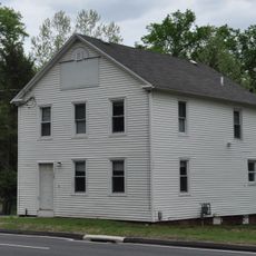
Orrin Todd House
7 km
Wallingford Center
9.2 kmReviews
Visited this place? Tap the stars to rate it and share your experience / photos with the community! Try now! You can cancel it anytime.
Discover hidden gems everywhere you go!
From secret cafés to breathtaking viewpoints, skip the crowded tourist spots and find places that match your style. Our app makes it easy with voice search, smart filtering, route optimization, and insider tips from travelers worldwide. Download now for the complete mobile experience.

A unique approach to discovering new places❞
— Le Figaro
All the places worth exploring❞
— France Info
A tailor-made excursion in just a few clicks❞
— 20 Minutes