25th parallel north, Circle of latitude spanning Africa, Asia, and North America
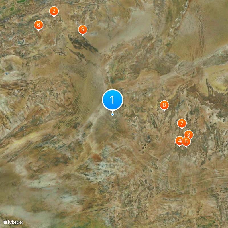
The 25th parallel north is a line of latitude that passes through eighteen countries including China, Egypt, India, Mexico, Saudi Arabia, and the United States at 25 degrees north of the equator. This geographic marker crosses through varied terrain and climate zones, ranging from humid coastal regions to sprawling desert landscapes.
The 25th parallel was used in establishing international borders, particularly between Mauritania and Mali during colonial times. This line served as an important geographic reference for territorial divisions across the African continent.
Different regions along the parallel exhibit varied agricultural practices, from rice cultivation in Bangladesh to citrus farming in Florida.
Along this latitude, sunlight duration varies significantly between seasons, with summer days lasting about 13 hours and winter days about 10 hours. The different light patterns greatly affect the climate and agricultural conditions across the regions it crosses.
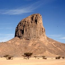
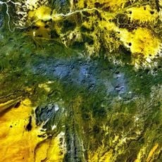
This line passes through multiple desert regions including the Sahara, Arabian, and Thar deserts, forming a connected zone of arid landscapes. These desert belts influence climate patterns and population distribution along the entire parallel.
The community of curious travelers
AroundUs brings together thousands of curated places, local tips, and hidden gems, enriched daily by 60,000 contributors worldwide.