Ar Qimmat Sūrahmahr, Berggipfel im Irak
Location: Sulaymaniyah Governorate
GPS coordinates: 35.09889,45.85917
Latest update: March 8, 2025 12:34
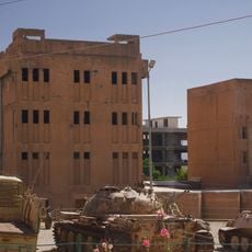
Amna Suraka
64.9 km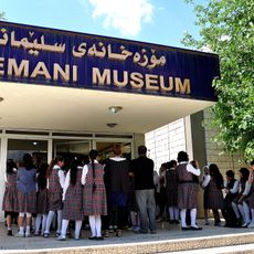
Sulaymaniyah Museum
64.5 km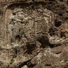
Anobanini rock relief
70.8 km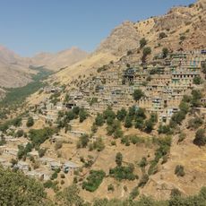
Cultural Landscape of Hawraman/Uramanat
56.4 km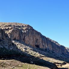
Hazar Merd Cave
67.9 km
Abdullah ibn Umar Mosque
69.8 km
Bakr Awa
15.4 km
Tell Kunara
65.2 km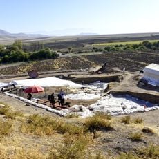
Bestansur
36.5 km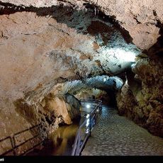
Quri Qala Cave
62.8 km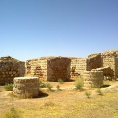
Khosrow Palace (Qasr-e Shirin)
68.5 km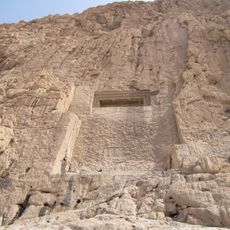
Dukkan-e Daud
73.3 km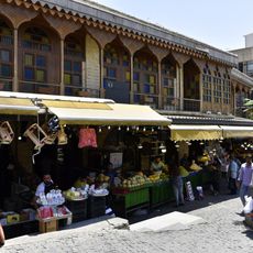
Kurd's Heritage Museum (Sulaymaniyah)
63.6 km
Tomb of Ahmad ibn Ishaq
70.8 km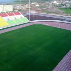
Halabja Stadium
14.9 km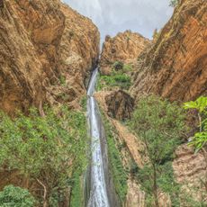
Piran waterfall
68 km
Qaleh-i Yazdigird
61.9 km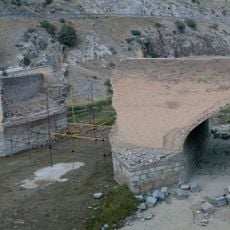
Garran Bridge
63.3 km
Yasin Tepe
34.8 km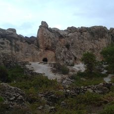
The Stone cave Hossein Kuhkan
50 km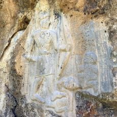
Darband-i Belula
20.5 km
Abu Dajaneh Cemetery
69.3 km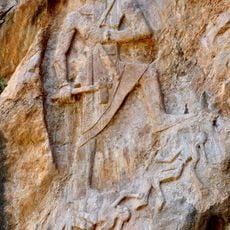
Rock relief of Naram-Suen, Sulaymaniyah
42.7 km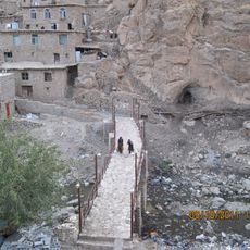
Palangan Bridge
67.8 km
Marivan Castle
52.1 km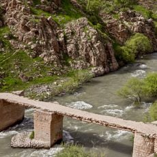
Doavan Bridge
67.9 km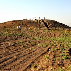
Gird-i Kazhaw
36.7 km
Qasr-e Shirin Chahartaq
69.1 kmVisited this place? Tap the stars to rate it and share your experience / photos with the community! Try now! You can cancel it anytime.
Discover hidden gems everywhere you go!
From secret cafés to breathtaking viewpoints, skip the crowded tourist spots and find places that match your style. Our app makes it easy with voice search, smart filtering, route optimization, and insider tips from travelers worldwide. Download now for the complete mobile experience.

A unique approach to discovering new places❞
— Le Figaro
All the places worth exploring❞
— France Info
A tailor-made excursion in just a few clicks❞
— 20 Minutes