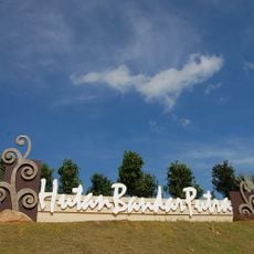
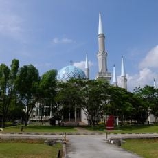
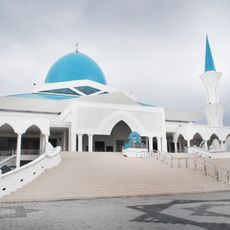
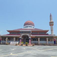
Kluang, human settlement in Malaysia
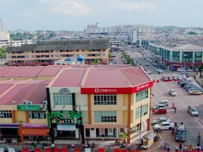
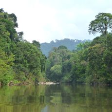
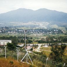
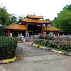
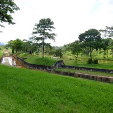
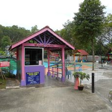
Kluang is a small town in Johor, Malaysia, located in the district of the same name and known for its rural quietness, historic buildings, and local coffee shops. The town center clusters around the old railway station, where Kluang RailCoffee has operated since 1938, and the place is shaped by green farms, hill trails, and colorful street murals.
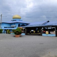
Kluang developed as a railway hub in Malaysia, with Kluang RailCoffee founded in 1938 and serving as a local landmark ever since. The coffee powder factory emerged in the 1960s and shaped the town's identity as a coffee center, a legacy visible today in traditional roasting methods and local priorities.
The name Kluang is rooted in local tradition, and the town center revolves around Kluang RailCoffee, open since 1938, where locals and visitors gather for simple meals and strong coffee. The way people spend time here reveals rural rhythms: chatting in small cafes, visiting farms, and walking past colorful street murals that celebrate farming life and local heritage.
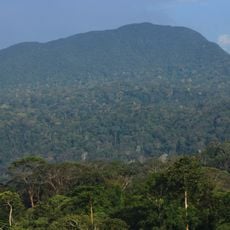
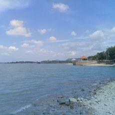
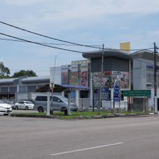
The town is easy to reach by train from Singapore, with the railway station centrally located and close to cafes and markets. Most attractions such as Gunung Lambak, farms, and the town center are within close proximity, making walking and using local transport like taxis practical for exploration.
The Kluang coffee powder factory, producing Kopi Cap Televisyen since the 1960s, has been reportedly consumed by the Sultan of Johor for over 20 years and roasts beans using traditional methods. Visitors can watch the roasting process and taste the difference between coffee made with just water and sugar versus coffee with added ingredients, revealing the local devotion to pure coffee flavor.
The community of curious travelers
AroundUs brings together thousands of curated places, local tips, and hidden gems, enriched daily by 60,000 contributors worldwide.