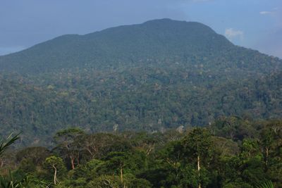
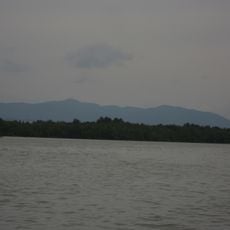
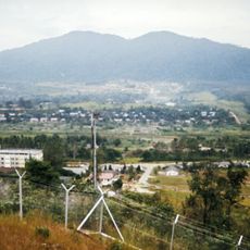
Mount Belumut, Mountain summit in Kluang District, Malaysia
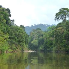
Mount Belumut rises 1,010 meters above sea level and is covered with dense forest. The ascent passes through rainforest terrain with several checkpoints marking the route.
The mountain was designated as part of the Mount Belumut Recreational Forest and served for many generations as a boundary marker in the Johor region. This role shows its long-standing importance as a landmark in the landscape.
The name Belumut comes from the Malay language and refers to the thick moss covering the mountain slopes. This naming reflects how local people observe and describe their natural surroundings.
The complete hike takes about seven hours round trip, with the ascent alone taking about four hours and becoming progressively steeper. Bring water and food, and be prepared to navigate natural obstacles along the way.
Near the peak stands Crown Rock, a distinctive boulder formation that resembles a royal crown. It marks the final stretch of the climb and serves as a helpful landmark for hikers.
The community of curious travelers
AroundUs brings together thousands of curated places, local tips, and hidden gems, enriched daily by 60,000 contributors worldwide.