Pahang River, River system in Pahang, Malaysia
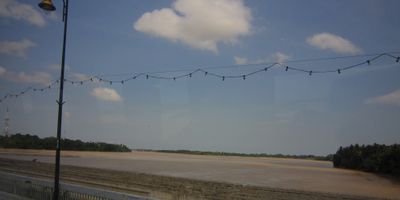
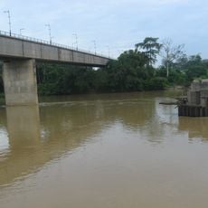
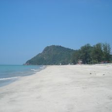
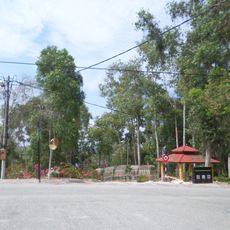
Pahang River is a river system spanning about 459 kilometers through Pahang, flowing from the Titiwangsa Mountains down to the South China Sea. Seven bridges cross its course, including the Abu Bakar Bridge in Pekan and the Sultan Ahmad Shah Bridge in Kuala Krau, serving as key routes through the region.
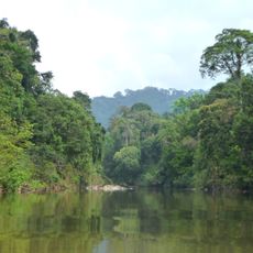
The river formed through long geological processes dating back to the Pleistocene epoch and evolved into its current shape over millennia. Starting around 1400, maritime traders and warriors from neighboring regions established settlements along its banks, making it a significant trade route.
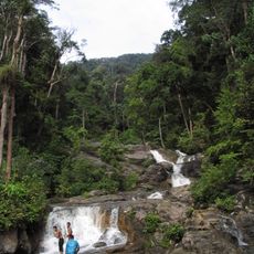
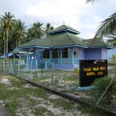
The river has been central to local life and appears in traditional Malay texts documenting the region's history. People still depend on its waters for fishing and daily activities that shape how communities live along its banks.
The river is accessible at several points and crossed by bridges open to pedestrians and vehicles. The best time to explore is during drier months when water levels are lower and moving along the banks becomes easier.
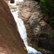
The river's shape owes much to temperature swings and sea level changes during the Pleistocene period, which created an entire network of waterways. This geological history is still visible today in the varying widths and depths of the waterway, revealing how the landscape was carved out in prehistoric times.
The community of curious travelers
AroundUs brings together thousands of curated places, local tips, and hidden gems, enriched daily by 60,000 contributors worldwide.