Pampa del Tamarugal National Reserve, National reserve in Tarapacá Region, Chile.
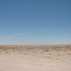
Pampa del Tamarugal National Reserve covers 127,149 hectares in Chile's Tarapacá Region, about 70 km east of Iquique. It is divided into three sectors: Zapiga, Bosque Nativo de La Tirana and Pintados. Within the rainless desert, planted Prosopis tamarugo forests cover 18,113 hectares, alongside 1,950 hectares of algarrobo and 2,500 hectares of native tamarugo woodland.
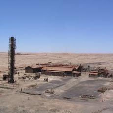
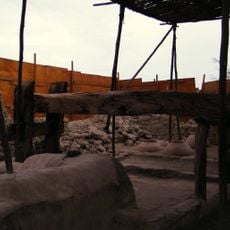
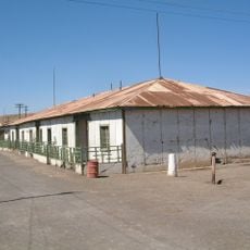
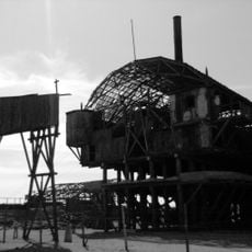
The reserve was established on December 18, 1987 to protect native species in this desert region. The area also preserves remnants from the Pacific War and historical saltpetre mining activities that once shaped the economy of this zone.
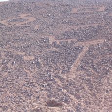
The Pintados geoglyphs are pre-Columbian figures drawn on the slopes of Cerro Pintados along about 2 miles (3 km), with more than 350 figures of men, animals and abstract shapes. Chilean law protects them as historical monuments. They are the reserve's main cultural landmark alongside the tamarugo forests.
The reserve lies about 70 km east of Iquique and is split into three sectors: Zapiga, Bosque Nativo de La Tirana and Pintados. The Pan-American Highway crosses Zapiga and Pintados, while the La Tirana sector is reached from Route A-665. The Pintados geoglyphs can be visited daily from 10:30 to 17:30 for a fee.
Salar de Llamara, one of the reserve's four sectors, holds small natural relicts of tamarugo (Prosopis tamarugo) that survived the felling that fed the old saltpetre works. Its salt lagoons also contain cyanobacteria and stromatolites, layered microbial structures rarely seen by visitors, who usually head straight for the Pintados geoglyphs.
The community of curious travelers
AroundUs brings together thousands of curated places, local tips, and hidden gems, enriched daily by 92,613 contributors worldwide.