Chest opened
+${chestReward.xp} XP
Explorer
NOUVEAU ×${chestReward.collectible.quantity}
tapez pour fermer

See the monuments around you in AR Open chests in the app

Around Us is built for your phone — point your camera at the streets and discover the monuments and places around you in augmented reality. Around Us is built for your phone — chests unlock when you walk, explore and capture nearby places.

•

Enable Location

We need your location to show you interesting places around you

Discover nearby places

Find interesting locations and hidden gems around you

Precise directions

Get accurate directions and distances to places

Your location is never shared with other users. It's only used when you tap the location button.

Tocllaraju

Log in to your account

Start exploring — it's free

Trusted by 92,638 travelers worldwide

Continue with Google
Continue with Apple
or

We will send you a code to connect

By continuing, you accept our Terms and Conditions and our Privacy Policy

Check your inbox

We've sent a pincode in your inbox. Please enter the code below.

Tocllaraju

Tocllaraju, Mountain summit in Ancash Department, Peru.

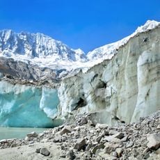
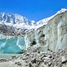
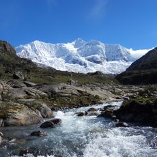
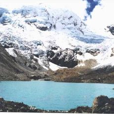
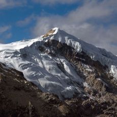
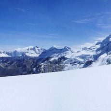
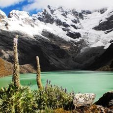
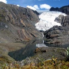
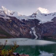
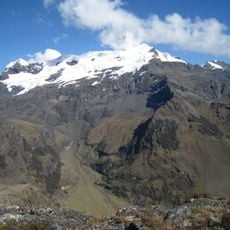
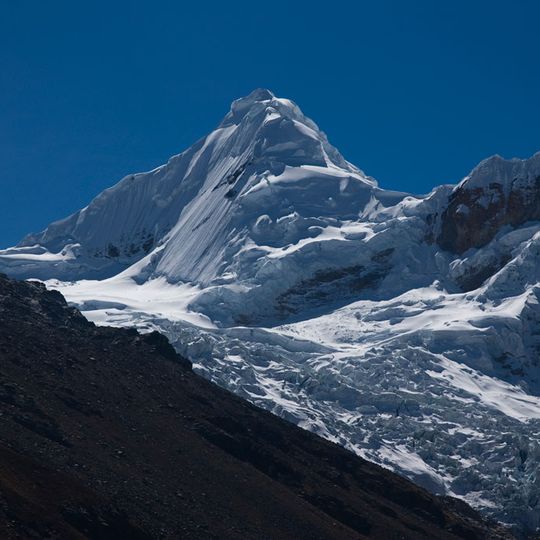
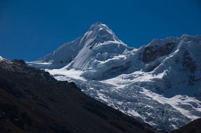
Tocllaraju is a pyramid-shaped summit in the Cordillera Blanca, about 6,034 m high, on the border of Carhuaz and Huaraz provinces within Huascarán National Park. Its upper faces are snow and ice cut by narrow dark rock bands, above a crevasse-ridged glacier; reddish-brown rock breaks through near the lower right. The east side ends in glacier tongues, the west in hanging glaciers.

Walther Brecht and Hans Schweizer made the first ascent on 31 July 1939, climbing from the Quebradas Honda and Cancahua to the Northwest Ridge during the German Alpine Club's Andean tour. The second ascent came only 20 years later, by Americans Leigh Ortenburg and Kermith Ross. The current normal route from Quebrada Ishinca, also finishing on the Northwest Ridge, was first climbed in 1963 by a Swiss rope team.

The name Tuqllarahu comes from Ancash Quechua: tuqlla means trap and raju or rasu means snow, so it can be read as snow-covered trap mountain. The Spanish form adds Nevado, the term used across the Andes for glaciated peaks, as on the Alpenverein map. The summit is linked by a ridge to the 240 m higher Palcaraju, which forms the provincial border between Carhuaz and Huaraz.

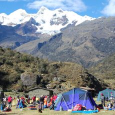
The approach starts from Pashpa village and passes through Ishinca Valley to successive camps at elevations ranging from 4,350 to 4,950 meters (14,270 to 16,240 feet). Working with local guides familiar with weather patterns and conditions is essential for a safe experience.

The Northwest Ridge route exposes climbers to extreme glacial conditions, including hidden crevasses and rapidly changing snow. Many mountaineers underestimate the technical complexity of this line compared to other nearby peaks.

The community of curious travelers

AroundUs brings together thousands of curated places, local tips, and hidden gems, enriched daily by 92,638 contributors worldwide.
Start exploring
Elevation above the sea
6,032 m
GPS coordinates
-9.34708,-77.39709
Latest update
October 24, 2026 19:42
Reviews
Share your experience

No review yet

Discussions
Start a discussion...

No discussion yet

« Tocllaraju - Mountain summit in Ancash Department, Peru » is provided by Around Us (aroundus.com). Images and texts are derived from Wikimedia project under a Creative Commons license. You are allowed to copy, distribute, and modify copies of this page, under the conditions set by the license, as long as this note is clearly visible.

Discover hidden gems everywhere you go!

From secret cafés to breathtaking viewpoints, skip the crowded tourist spots and find places that match your style. Our app makes it easy with voice search, smart filtering, route optimization, and insider tips from travelers worldwide. Download now for the complete mobile experience.

Around Us App Screenshot
❝

A unique approach to discovering new places❞

— Le Figaro

❝

All the places worth exploring❞

— France Info

❝

A tailor-made excursion in just a few clicks❞

— 20 Minutes

Around Us
Travel Guide & Maps
Download

Send to your phone

QR Code
1

Open the camera app on your mobile.

2

Point at the QR code with your camera. A notification will appear.

3

Tap the notification to open the link.