Kajaki Dam, Embankment dam and hydroelectric power station in Helmand Province, Afghanistan.
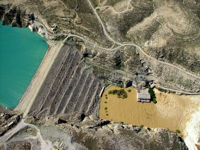
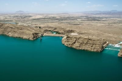
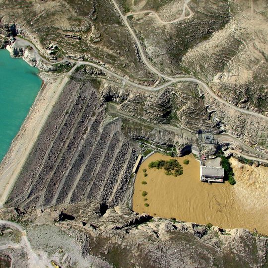
Kajaki Dam is a 100 m high, 270 m long earth and rockfill embankment on the Helmand River, about 161 km northwest of Kandahar. Its flat crest runs between steep tan rocky bluffs, and the face, cut by long parallel diagonal channels, descends to deep teal water. A powerhouse with three 16.5 MW units stands at the toe.
The original construction finished in the 1950s as part of a major irrigation initiative, while power generation facilities were added decades later in the 1970s. The project represented international cooperation in building modern infrastructure for the region.
The dam's name comes from the Kajaki District, and its reservoir is known locally as the Kajaki lake. A 1973 (1351 SH) treaty between Iran and Afghanistan set a flow of 26 cubic metres per second, about 850 million cubic metres a year, for Sistan and Lake Hamun. Afghan closure of the gates during Taliban rule became a dispute between the two countries.
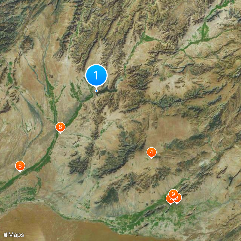
The dam lies about 161 km northwest of Kandahar on the Helmand River, reached by a road that has repeatedly been cut by fighting, so check the route before setting out. The crest is flat and unpaved, and the intake structure stands at the water's edge near its left end.
The crest stands at 1,033.5 m, the level above which the dam passes all reservoir water because its service spillway never received gates. Contractors also left a planned 2 m crest raise unfinished when they quit Afghanistan before the 1979 Soviet invasion.
The community of curious travelers
AroundUs brings together thousands of curated places, local tips, and hidden gems, enriched daily by 92,634 contributors worldwide.