
Irind, village in Aragatsotn Province of Armenia
Location: Aragatsotn Region
Elevation above the sea: 1,900 m
GPS coordinates: 40.38333,43.98333
Latest update: March 7, 2025 06:54

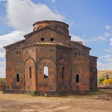
Cathedral of Talin
9.4 km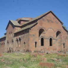
Aruchavank
13.3 km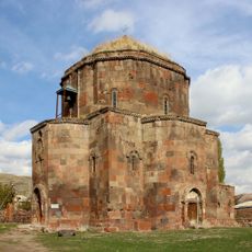
Surp Hovanes (Mastara Church)
11.4 km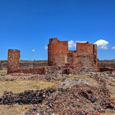
Dashtadem Fortress
11.8 km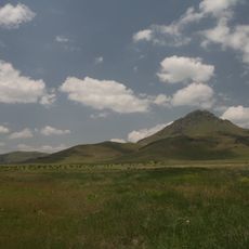
Arteni
16.8 km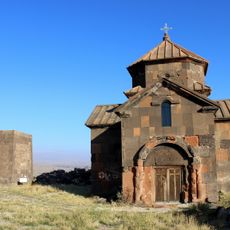
Saint Christopher Monastery
12.5 km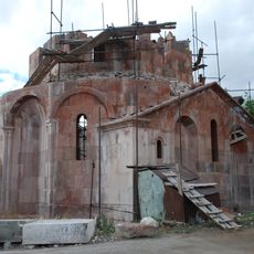
Saint Gevorg Church (Irind)
1.8 km
Kevork Chavoush Museum
7.8 km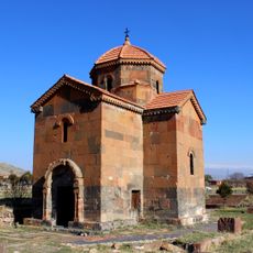
Saint Astvatsatsin Kamsarakan Church, Talin
9.3 km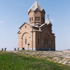
Церковь Сурб Вардан
2.3 km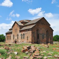
Aruchavank
13.3 km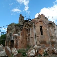
Irind Church VII c.
1.2 km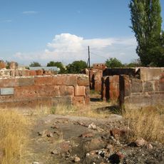
Church in St. Grigor church complex
13.4 km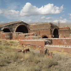
Aruch Caravanserai
11.9 km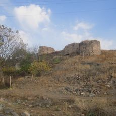
Castle in Aruch
13.4 km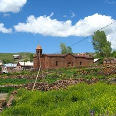
Saint Tadeos church of Sarnaghbyur
16.7 km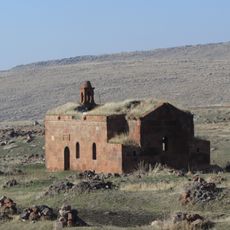
Saint Astvatsatsin church
10.3 km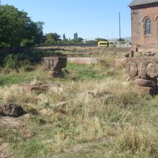
Palace in Aruch
13.4 km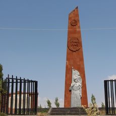
Հուշարձան` Երկրորդ աշխարհամարտում զոհվածներին
8.9 km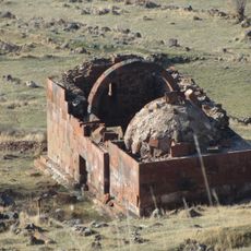
Saint Amenaprkich church
10.2 km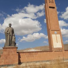
Հուշարձան` Երկրորդ աշխարհամարտում զոհվածներին
14.4 km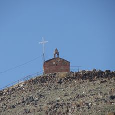
Եկեղեցի Սբ. Ստեփանոս Նախավկա
11.7 km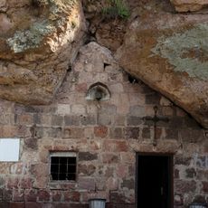
Chapel of Sarnaghbyur
16.9 km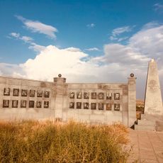
Հուշարձան` Երկրորդ աշխարհամարտում զոհվածներին
8 km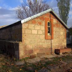
Chapel of the Savior
11.3 km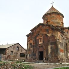
Otevan Church
6.9 km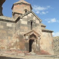
St. Stepanos Church
16.8 km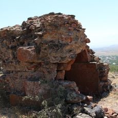
Մատուռ «Կապույտ խաչ»
17 kmReviews
Visited this place? Tap the stars to rate it and share your experience / photos with the community! Try now! You can cancel it anytime.
Discover hidden gems everywhere you go!
From secret cafés to breathtaking viewpoints, skip the crowded tourist spots and find places that match your style. Our app makes it easy with voice search, smart filtering, route optimization, and insider tips from travelers worldwide. Download now for the complete mobile experience.

A unique approach to discovering new places❞
— Le Figaro
All the places worth exploring❞
— France Info
A tailor-made excursion in just a few clicks❞
— 20 Minutes