
Gusanagyugh, village in Shirak Province of Armenia
Location: Shirak Province
Elevation above the sea: 1,500 m
GPS coordinates: 40.66917,43.78833
Latest update: March 31, 2025 13:27
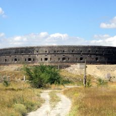
Sev Berd
13 km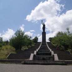
Mother Armenia
12.8 km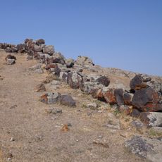
Horom Citadel
9.7 km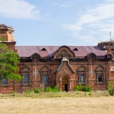
Church in Kazachi post
11.7 km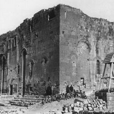
Holy Saviour's monastery of Yerazgavors
5.2 km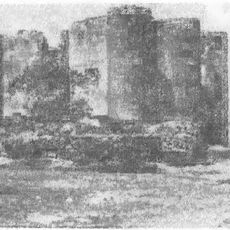
Tygnis Fortress
7.8 km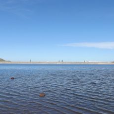
Vardaqar Reservoir
10.4 km
Saint Astvatsatsin Catholic Church
6.2 km
Металлический мост на реке Ахурян
11.6 km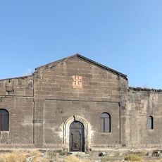
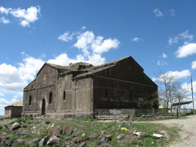
Surb Astvatsatsin church in Gusanagyugh
475 m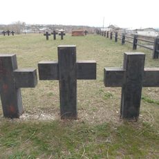
Ajemyan Street Cemetery, Gyumri
12.9 km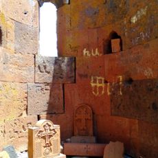
Surb Astvatsatsin church
9.3 km
Aghin Cemetery
11.8 km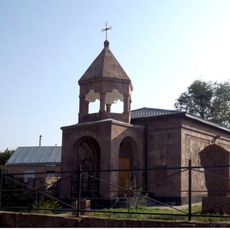
Church in Vardakar
11 km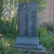
World War II memorial in Gharibjanyan
8.5 km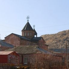
Surb Astvatsatsin church in Maralik
12.5 km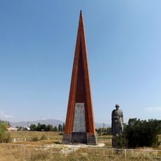
World War II memorial, Arevik
12.2 km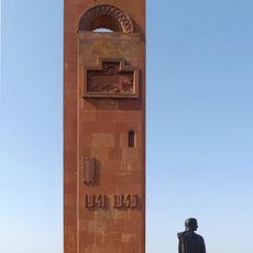
World War II memorial in Gusanagyugh
1.3 km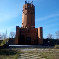
World War II memorial in Azatan
6.4 km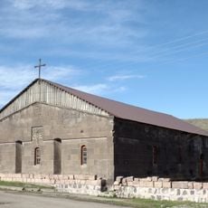
Church in Aygabats
10.5 km
Nor Kyanq Saint Lusavorich church
12.1 km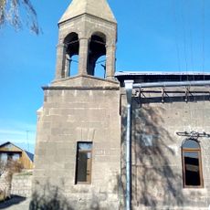
Surp Stepanos Church, Azatan
6.4 km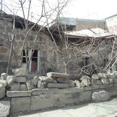
Vardan Ajemian 54, Gyumri
13 km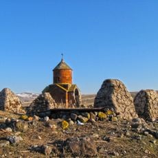
Poghos Petros church in Bardzrashen
9.4 km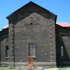
Saint Gregory the Illuminator church in Arevik
12.8 km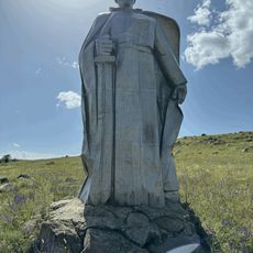
World War II memorial in Maralik
12.5 km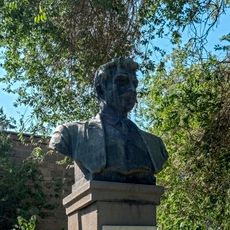
Gharibjanyan monument
8.5 km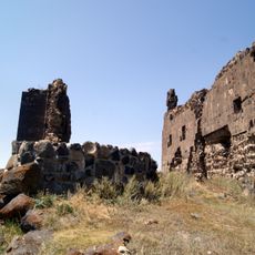
Ամրոց
379 mVisited this place? Tap the stars to rate it and share your experience / photos with the community! Try now! You can cancel it anytime.
Discover hidden gems everywhere you go!
From secret cafés to breathtaking viewpoints, skip the crowded tourist spots and find places that match your style. Our app makes it easy with voice search, smart filtering, route optimization, and insider tips from travelers worldwide. Download now for the complete mobile experience.

A unique approach to discovering new places❞
— Le Figaro
All the places worth exploring❞
— France Info
A tailor-made excursion in just a few clicks❞
— 20 Minutes