Tashtun, village in Syunik Province of Armenia
Location: Syunik Province
Elevation above the sea: 1,950 m
Shares border with: Lichk
GPS coordinates: 39.06472,46.17194
Latest update: March 3, 2025 02:01
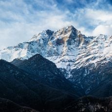
Khustup
16 km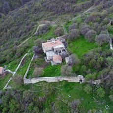
Halidzor Fortress
23.3 km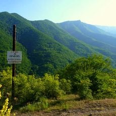
Shikahogh State Preserve
19.8 km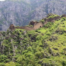
Baghaberd
19 km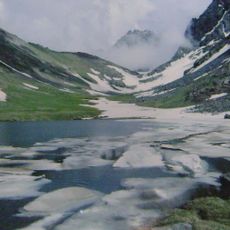
Zengezur National Park
23.6 km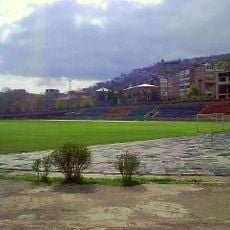
Gandzasar Stadium
25.4 km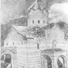
Saint Thomas Monastery of Agulis
19.9 km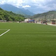
Gandzasar Kapan Training Centre
22.5 km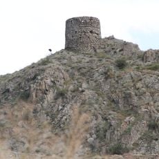
Meghri Fortress
19.2 km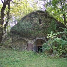
Bekhi Anapat
21.2 km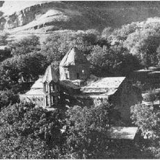
St. Astvatsatsin Monastery
23.5 km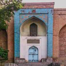
Juma Mosque in Ordubad
21.5 km
Holy Mother of God Church, Meghri
19 km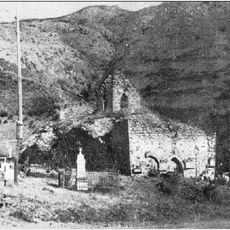
Mesrop Mashtots Monastery (Nasirvaz)
24.4 km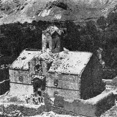
Saint Stephen Church of Agulis
19.5 km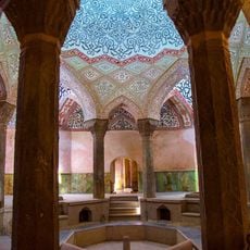
Kordasht Hammam
22.4 km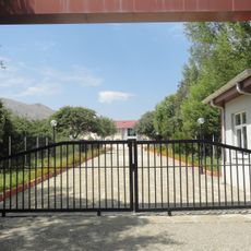
Batabat Astrophysical Observatory
23.3 km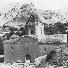
St. Kristapor Church (Yukhari Aylis)
20.4 km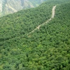
Zangezur Sanctuary
23.7 km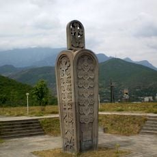
Armenian Genocide memorial
25 km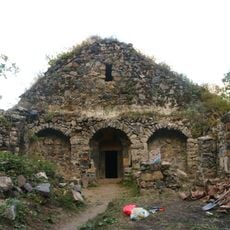
Bekhi Anapat church
21.2 km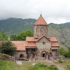
Surb Grigor Lusavorich
22 km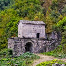
Church-Mausoleum Surb Astvatsatsin
21.9 km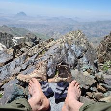
Kaputjugh
17.9 km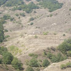
Kusanats Anapat
6.7 km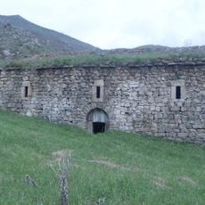
Church in Kusanats Anapat
11.5 km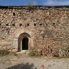
Church in Tashtun
114 m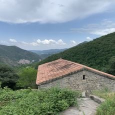
Եկեղեցի Սբ. Աստվածածին
23.1 kmVisited this place? Tap the stars to rate it and share your experience / photos with the community! Try now! You can cancel it anytime.
Discover hidden gems everywhere you go!
From secret cafés to breathtaking viewpoints, skip the crowded tourist spots and find places that match your style. Our app makes it easy with voice search, smart filtering, route optimization, and insider tips from travelers worldwide. Download now for the complete mobile experience.

A unique approach to discovering new places❞
— Le Figaro
All the places worth exploring❞
— France Info
A tailor-made excursion in just a few clicks❞
— 20 Minutes