
Antarut, village in Aragatsotn Province of Armenia
Location: Aragatsotn Region
Elevation above the sea: 1,450 m
GPS coordinates: 40.35000,44.26667
Latest update: March 7, 2025 06:58

Karbi people
9.5 km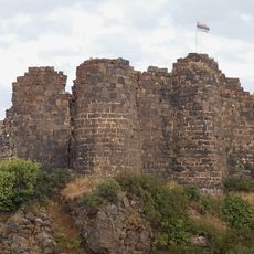
Amberd
5.5 km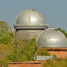
Byurakan Observatory
2.3 km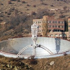
Orgov Radio-Optical Telescope
2.2 km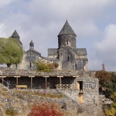
Tegher Monastery
2.3 km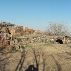
Arshakid Mausoleum
3.9 km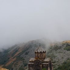
Vahramashen Church
5.3 km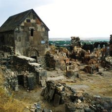
Saint Sargis Monastery of Ushi
7.9 km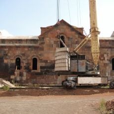
Surb Hovhannes Church of Voskevaz
8.7 km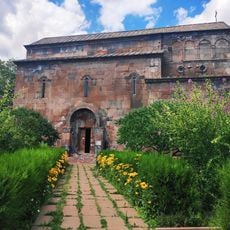
Surb Hovhannes Church of Byurakan
1.2 km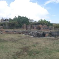
Historical and architectural complex Aghdzk
3.9 km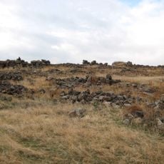
Ushiberd
7.9 km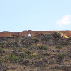
Aghchka berd
6.8 km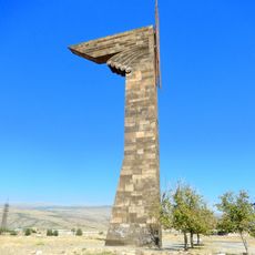
Eagle of Vaspurakan
7.4 km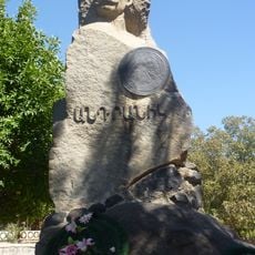
Andranik Ozanyan Monument in Ujan
7.9 km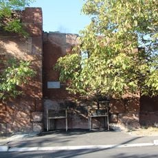
Surb Astvatsatsin Church, Agarak, Aragatsotn
5.6 km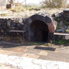
Mausolée d'Aghdsk
4.4 km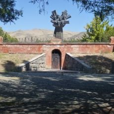
Armenian hajduks monument
7.8 km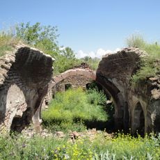
Agarak Mosque
5.6 km
Մոտկան
6.7 km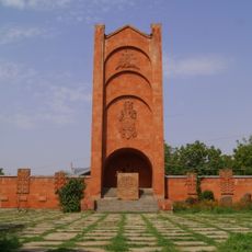
WWII Monument, Karbi
9.5 km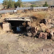
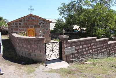
Tukh Manuk church
5.1 km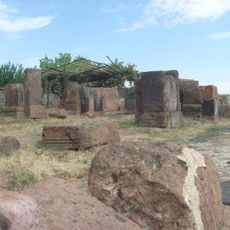
Church at Tomb of Arshakuni Kings
3.9 km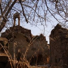
Tsiranavor church of Parpi
4.5 km
Tukh Manuk chapel of Karbi
9.5 km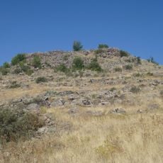
Motkan Berd in Ujan
7.3 km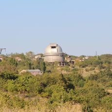
Աստղադիտարանի համալիր. Բյուրականի աստղադիտարան
4 km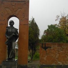
Հուշարձան Երկրորդ աշխարհամարտում զոհվածներին
8.5 kmReviews
Visited this place? Tap the stars to rate it and share your experience / photos with the community! Try now! You can cancel it anytime.
Discover hidden gems everywhere you go!
From secret cafés to breathtaking viewpoints, skip the crowded tourist spots and find places that match your style. Our app makes it easy with voice search, smart filtering, route optimization, and insider tips from travelers worldwide. Download now for the complete mobile experience.

A unique approach to discovering new places❞
— Le Figaro
All the places worth exploring❞
— France Info
A tailor-made excursion in just a few clicks❞
— 20 Minutes