
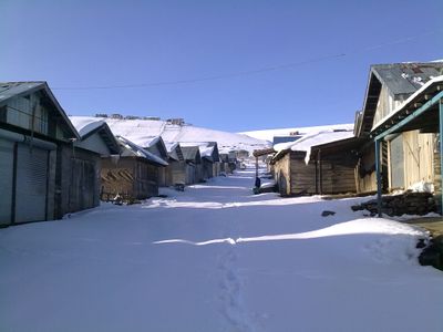
Geghakar, village in Gegharkunik Province of Armenia
Location: Gegharkunik Province
Elevation above the sea: 2,158 m
GPS coordinates: 40.11667,45.68333
Latest update: April 25, 2025 03:02
Lake Sevan
35.7 km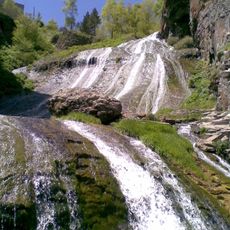
Jermuk Waterfall
31.2 km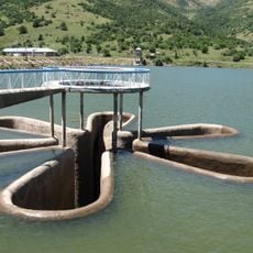
Kechut Reservoir
35.5 km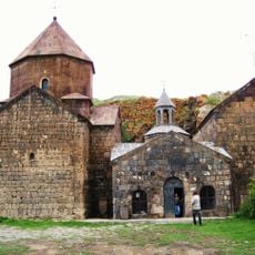
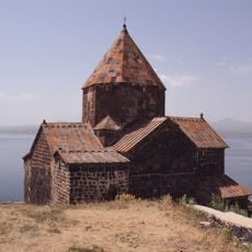
Vanevan Monastery
14.7 km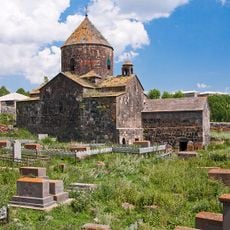
Makenyats Vank
6 km
Kotavank
35.7 km
Tsovinar inscription
16.5 km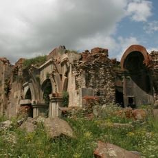
Arates monastery
31.4 km
Saint Sargis Church of Tsovinar
14.9 km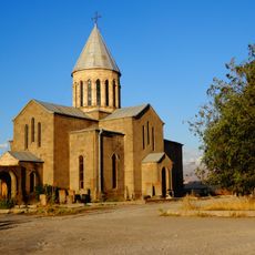
Սուրբ Աստվածածին եկեղեցի
8.6 km
Jermuk Forest Sanctuary
21.1 km
Surb Astvatsatsin church, Vardenik
21.1 km
Ջերմուկի պատկերասրահ
30.9 km
Artsakh War Memorial
32.5 km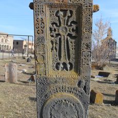
Խաչքար Աբաս բեկի
13.4 km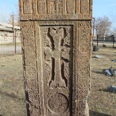
Melik bek khatchkar
13.4 km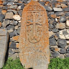
Խաչքար Ենոքի, Կուլջահանի, Դաստակուլի, Միլիդուխտի
6 km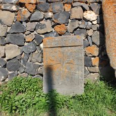
Խաչքար Շահալամի
6 km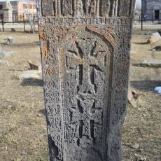
Խաչքար Յավրի բեկի և Գուլասարի
13.4 km
Mineral water gallery in Jermuk
30.8 km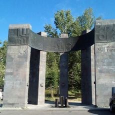
October Revolution memorial in Jermuk
31.3 km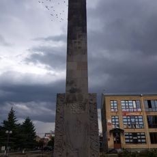
WW2 Memorial in Martuni
32.5 km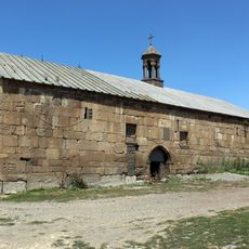
Saint Astvatsatsin Church of Sotk
18 km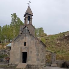
Chapel Toukh Manouk
34 km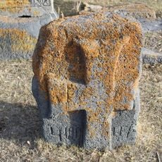
Хачкар
13.4 km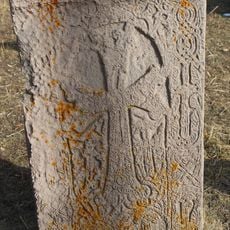
Хачкар
13.4 km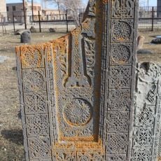
Խաչքար Միրզայի
13.4 km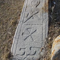
Տապանաքար
13.4 kmReviews
Visited this place? Tap the stars to rate it and share your experience / photos with the community! Try now! You can cancel it anytime.
Discover hidden gems everywhere you go!
From secret cafés to breathtaking viewpoints, skip the crowded tourist spots and find places that match your style. Our app makes it easy with voice search, smart filtering, route optimization, and insider tips from travelers worldwide. Download now for the complete mobile experience.

A unique approach to discovering new places❞
— Le Figaro
All the places worth exploring❞
— France Info
A tailor-made excursion in just a few clicks❞
— 20 Minutes