
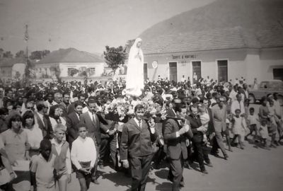
Conda, municipality of Angola
Location: Cuanza Sul Province
GPS coordinates: -11.10809,14.33654
Latest update: March 7, 2025 14:09
Quissama National Park
232.3 km
National Museum of Slavery
274.7 km
Miradouro da Lua
250.6 km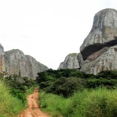
Pedras Negras de Pungo Andongo
211.1 km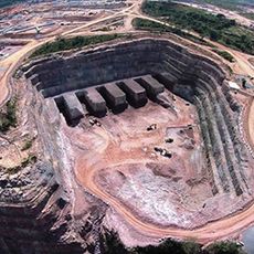
Laúca Dam
174.8 km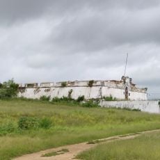
Massangano Fort
164.8 km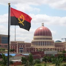
National Assembly Building of Angola
282.1 km
Fortress of Muxima
181.3 km
Avenida Comandante Valódia
281.5 km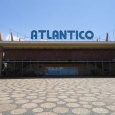
Cine Atlântico
280.7 km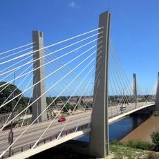
4 de Abril Bridge
171.4 km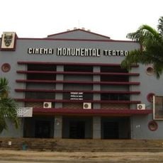
Cine-Teatro Monumental
193 km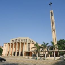
Holy Family Church
281.3 km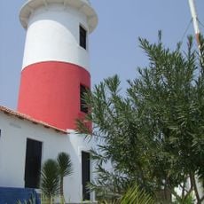
Lobito Lighthouse
157.3 km
Praia de Sangano
213.2 km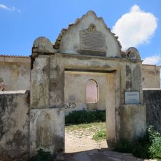
Fort Saint Peter
171.5 km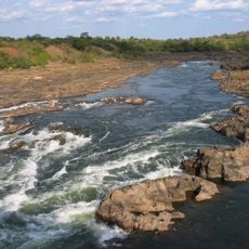
Corredor do Kwanza
236.5 km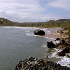
Praia dos Surfistas
202.2 km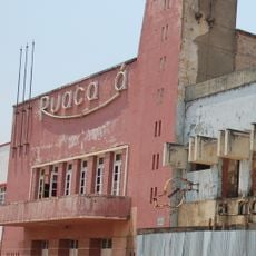
Cine Ruacaná
239.9 km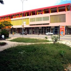
Municipal Market
162.9 km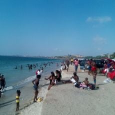
Praia Amelia
278.6 km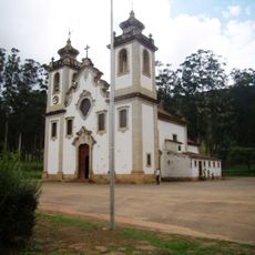
Igreja Matriz de Uaco Cungo
90 km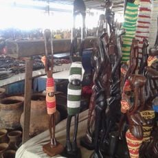
Art Market Benfica Artezanato
274.7 km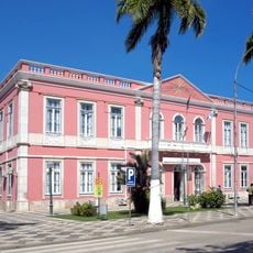
Town Hall of Benguela
192.8 km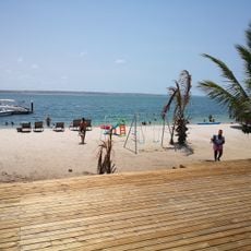
Mussulo island Chevron
277.6 km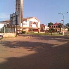
Cathedral of St. John the Baptist, N'dalatando
210.1 km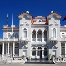
Palacio das Bolas
192.6 km
São Pedro
237.5 kmReviews
Visited this place? Tap the stars to rate it and share your experience / photos with the community! Try now! You can cancel it anytime.
Discover hidden gems everywhere you go!
From secret cafés to breathtaking viewpoints, skip the crowded tourist spots and find places that match your style. Our app makes it easy with voice search, smart filtering, route optimization, and insider tips from travelers worldwide. Download now for the complete mobile experience.

A unique approach to discovering new places❞
— Le Figaro
All the places worth exploring❞
— France Info
A tailor-made excursion in just a few clicks❞
— 20 Minutes