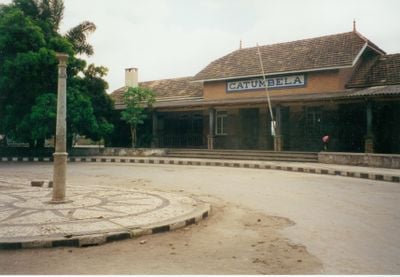
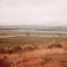
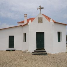
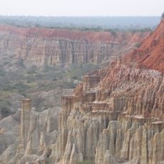
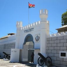
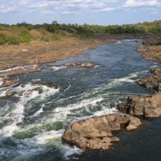
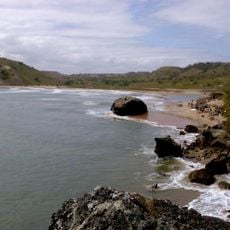
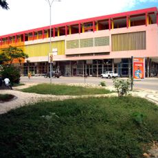
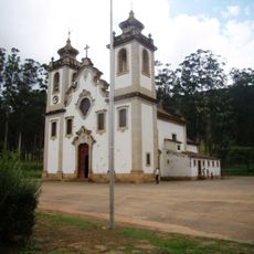
Catumbela, human settlement
Location: Benguela Province
Elevation above the sea: 6 m
GPS coordinates: -12.41667,13.53333
Latest update: March 4, 2025 06:22
Quissama National Park
342.4 km
National Museum of Slavery
387.8 km
Miradouro da Lua
359 km
Pedras Negras de Pungo Andongo
379.7 km
Tundavala Gap
267.8 km
Laúca Dam
344.7 km
Massangano Fort
320.2 km
Cristo Rei, Lubango
280.9 km
Bicuari National Park
348.2 km
Fortress of Muxima
325.6 km
4 de Abril Bridge
2.3 km
Cine-Teatro Monumental
23.2 km
Lobito Lighthouse
12.6 km
Saint Ferdinand Fort
343.8 km
Praia de Sangano
320.9 km
Fort Saint Peter
2.5 km
Saint-Joseph Cathedral in Lubango
278.3 km
Cabo de Santa Marta Lighthouse
202.4 km
Corredor do Kwanza
346.9 km
Praia dos Surfistas
307.1 km
Cine Ruacaná
243.6 km
Cine Estúdio
344.4 km
Municipal Market
7.5 km
Igreja Matriz de Uaco Cungo
208.2 km
Art Market Benfica Artezanato
387.7 km
Town Hall of Benguela
23.1 km
Palacio das Bolas
22.8 km
Cathedral of St. John the Baptist, N'dalatando
377.4 kmReviews
Visited this place? Tap the stars to rate it and share your experience / photos with the community! Try now! You can cancel it anytime.
Discover hidden gems everywhere you go!
From secret cafés to breathtaking viewpoints, skip the crowded tourist spots and find places that match your style. Our app makes it easy with voice search, smart filtering, route optimization, and insider tips from travelers worldwide. Download now for the complete mobile experience.
A unique approach to discovering new places❞
— Le Figaro
All the places worth exploring❞
— France Info
A tailor-made excursion in just a few clicks❞
— 20 Minutes