Mahire, Mountain summit in Tahiti, French Polynesia.
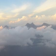
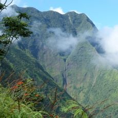
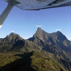
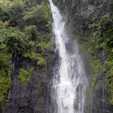
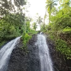
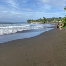
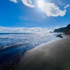
Mahire is a mountain summit on Tahiti that rises above the tropical landscape and extends toward the surrounding sea. From the peak, visitors can see both the northern and southern coastlines of the island at the same time.
The peak was mapped during French exploration voyages in the 18th century and recorded on maritime charts. These early records helped establish geographic positions across the island region.
The mountain holds significance for local Polynesian communities who consider the peak a reference point for traditional navigation methods.
Visitors should bring adequate water supplies before attempting the hike and check weather conditions, as they can change quickly. The climb is generally best done during drier months when conditions are more stable.
The summit offers direct views of both the northern and southern coasts of Tahiti, making it possible to observe two different ocean currents.
The community of curious travelers
AroundUs brings together thousands of curated places, local tips, and hidden gems, enriched daily by 60,000 contributors worldwide.