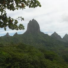
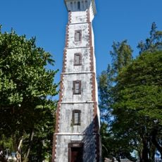
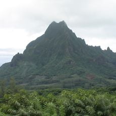
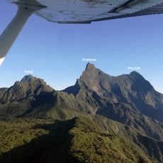
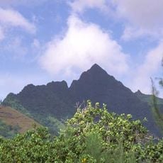
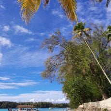
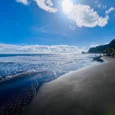
Mont Tiura, Mountain summit in Tahiti, French Polynesia.
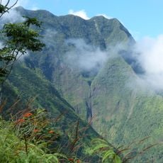
Mont Tiura is a mountain on Tahiti that rises to about 136 meters above sea level and stands out as a visible landmark from the coastline. Its slopes are covered with vegetation that changes with altitude, creating different zones as you climb higher.
This location was known to ancient Polynesian seafarers who used it as a navigation landmark while exploring and settling the islands. The mountain has remained largely unchanged since those early days and continues to serve as a natural marker.
Local Tahitian communities maintain traditional practices of land navigation using natural landmarks such as Mont Tiura to orient themselves across the island.
Bring plenty of water and wear sturdy hiking shoes since the terrain can be steep and good grip is important. Always check the weather before you start climbing, as conditions can change rapidly in this area.
The geographical position of Mont Tiura at -17.516667 latitude and -149.866667 longitude marks it as a reference point for scientific studies.
The community of curious travelers
AroundUs brings together thousands of curated places, local tips, and hidden gems, enriched daily by 60,000 contributors worldwide.