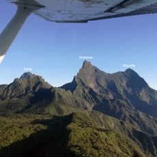
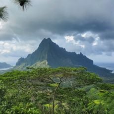
Mont Autao, Mountain summit in Moorea, French Polynesia
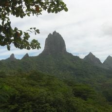
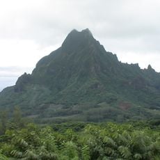
Mont Autao is a mountain peak on northern Moorea rising 224 meters above sea level, located near the settlements of Maatea, Papetoai, and Haapiti. It forms part of a continuous ridge with other summits like Mont Atiati and Mont Rotui that shapes the island's profile.
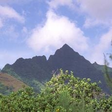
The peak formed through volcanic activity along with the rest of Moorea's ridge system over geological time. Modern mapping and geographic documentation have recorded its position as part of the island's natural structure.
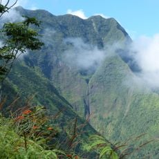
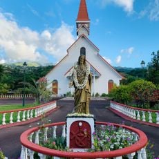
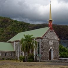
The peak is part of the ridge that frames the northern landscape where Polynesian communities have settled for generations. Local residents view these surrounding mountains as essential markers of their home geography.
Access to the peak begins from the base near Papetoai or surrounding villages, with established trails leading upward through natural terrain. Early morning visits offer better visibility from the summit and more comfortable conditions for the walk up.
From its height, the summit overlooks two distinct bays - Baie d'Opunohu and Baie de Vaianahe - that form natural divisions between different island districts. This vantage point reveals how the island's geography naturally separates its various regions.
The community of curious travelers
AroundUs brings together thousands of curated places, local tips, and hidden gems, enriched daily by 60,000 contributors worldwide.