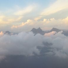
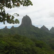
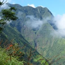
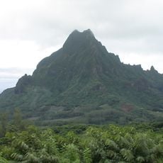
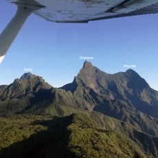
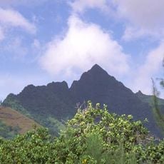
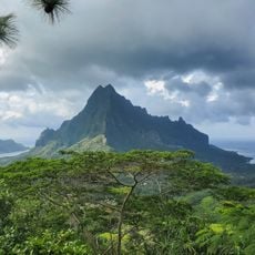
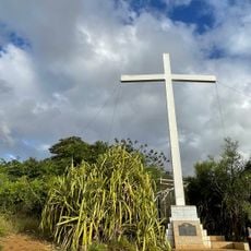
Teureohurupa, Mountain summit in Tahiti, French Polynesia.
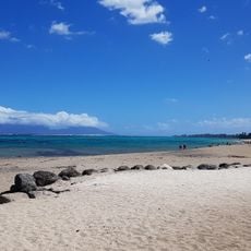
Teureohurupa is a summit in Tahiti rising approximately 226 meters above sea level and forming a distinct point in the island's varied terrain. The peak sits within the larger volcanic framework of French Polynesia and offers an elevated vantage point across the surrounding landscape.
The peak formed millions of years ago through volcanic activity that created the islands of French Polynesia. Its development reflects the broader geological processes that shaped this entire region.
The summit serves as a visual landmark in the daily life of islanders, recognized as a reference point when people orient themselves across the terrain. Its presence shapes how residents understand and navigate their local geography.
The ascent along marked trails typically takes about two hours and requires moderate fitness. Visitors should check weather conditions before heading up, as conditions at the top can shift quickly.
The summit's location serves as a reference point in oceanographic research throughout the South Pacific. Its fixed position has made it useful to scientists studying the region's waters and environmental patterns.
The community of curious travelers
AroundUs brings together thousands of curated places, local tips, and hidden gems, enriched daily by 60,000 contributors worldwide.