Enable Location

We need your location to show you interesting places around you

Discover nearby places

Find interesting locations and hidden gems around you

Precise directions

Get accurate directions and distances to places

Your location is never shared with other users. It's only used when you tap the location button.

Log in to your account

Start exploring — it's free

Trusted by 62,413 travelers worldwide

Continue with Google
Continue with Apple
or

We will send you a code to connect

By continuing, you accept our Terms and Conditions and our Privacy Policy

Check your inbox

We've sent a pincode in your inbox. Please enter the code below.

Mont Tamarutofa

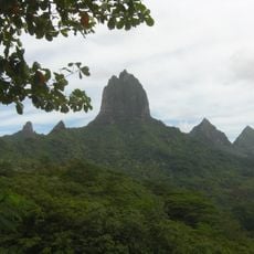
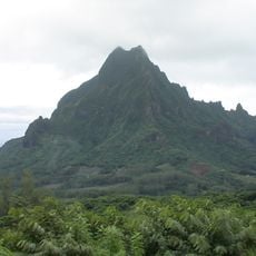
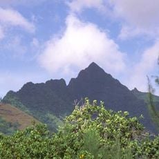
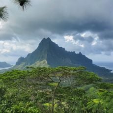
Mont Tamarutofa, Mountain summit in Huahine, French Polynesia

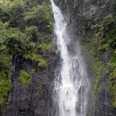
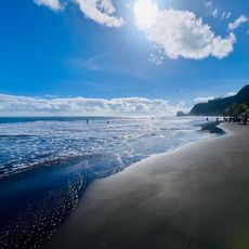
Mont Tamarutofa is a summit on the tropical island of Huahine in French Polynesia, rising approximately 109 meters above sea level. Its slopes are covered in dense vegetation and native plants that characterize the rainforest of the island.

The mountain served as a landmark for early Polynesians navigating the Pacific Ocean as they established settlements on Huahine. This geographical importance made it a key reference point in the island's settlement history.

The mountain holds deep spiritual meaning for local residents, reflected in names and stories passed down through generations. This connection to the land shapes how people use and regard the place in their daily lives.

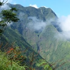
The hike requires proper footwear, plenty of water, and solid equipment since the trails can be steep and slippery, especially after rainfall. It is wise to go with local guides who know the conditions and potential hazards of the mountain.

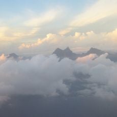
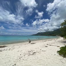
On clear days, the summit offers views of multiple islands in the archipelago, giving visitors a rare perspective of the scattered islands across the region. This wide vista makes the location a special vantage point that is fully accessible only in favorable weather conditions.

The community of curious travelers

AroundUs brings together thousands of curated places, local tips, and hidden gems, enriched daily by 60,000 contributors worldwide.

Start exploring
Location
Elevation above the sea
109 m
GPS coordinates
-17.53333,-149.83333
Latest update
December 15, 2025 13:25
« Mont Tamarutofa - Mountain summit in Huahine, French Polynesia » is provided by Around Us (aroundus.com). Images and texts are derived from Wikimedia project under a Creative Commons license. You are allowed to copy, distribute, and modify copies of this page, under the conditions set by the license, as long as this note is clearly visible.

Discover hidden gems everywhere you go!

From secret cafés to breathtaking viewpoints, skip the crowded tourist spots and find places that match your style. Our app makes it easy with voice search, smart filtering, route optimization, and insider tips from travelers worldwide. Download now for the complete mobile experience.

Around Us App Screenshot

A unique approach to discovering new places

Le Figaro

All the places worth exploring

France Info

A tailor-made excursion in just a few clicks

20 Minutes

Around Us
Travel Guide & Maps
Download

Send to your phone

QR Code
1

Open the camera app on your mobile.

2

Point at the QR code with your camera. A notification will appear.

3

Tap the notification to open the link.