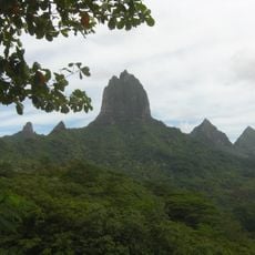
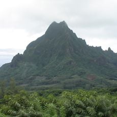
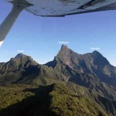
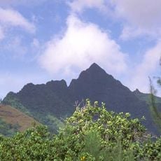
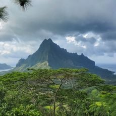
Mont Ruahiti, Mountain summit in Tahiti, French Polynesia.
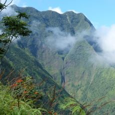
Mont Ruahiti is a mountain summit in Tahiti that rises 434 meters above sea level and marks a key geographical feature of the island. It is surrounded by dense tropical vegetation and cut through by valley streams that flow down toward the coast.
The summit served as a geographical reference point since the first French surveys of Tahiti in the colonial period. Its name and position were recorded on maps that documented French control of the island.
Local communities view the mountain peaks of Tahiti, including this one, as natural boundaries between different traditional districts. These peaks have shaped how people understand and navigate the landscape for generations.
Climbing to the summit requires careful planning since rainfall is frequent here and thick vegetation makes the route challenging. A local guide is essential to navigate safely through the brush and find the best way up.
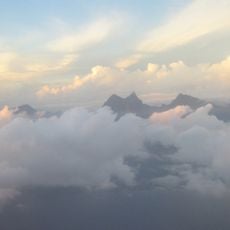
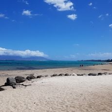
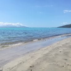
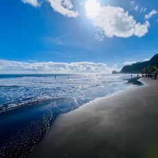
From this summit you can see both the interior valleys and the Pacific Ocean - a rare viewpoint that connects land and sea. This perspective makes the mountain a special place to understand the full scope of the island from one location.
The community of curious travelers
AroundUs brings together thousands of curated places, local tips, and hidden gems, enriched daily by 60,000 contributors worldwide.