Chest opened
+${chestReward.xp} XP
Explorer
NOUVEAU ×${chestReward.collectible.quantity}
tapez pour fermer

See the monuments around you in AR Open chests in the app

Around Us is built for your phone — point your camera at the streets and discover the monuments and places around you in augmented reality. Around Us is built for your phone — chests unlock when you walk, explore and capture nearby places.

•

Enable Location

We need your location to show you interesting places around you

Discover nearby places

Find interesting locations and hidden gems around you

Precise directions

Get accurate directions and distances to places

Your location is never shared with other users. It's only used when you tap the location button.

Yendegaia National Park

Log in to your account

Start exploring — it's free

Trusted by 92,638 travelers worldwide

Continue with Google
Continue with Apple
or

We will send you a code to connect

By continuing, you accept our Terms and Conditions and our Privacy Policy

Check your inbox

We've sent a pincode in your inbox. Please enter the code below.

Yendegaia National Park

Yendegaia National Park, National park in Tierra del Fuego, Chile

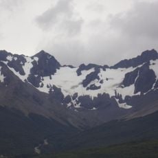
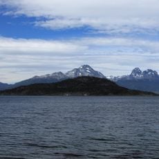
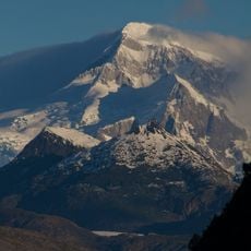
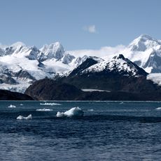
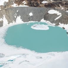
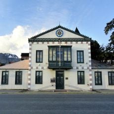
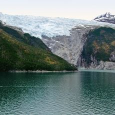
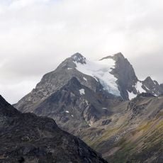
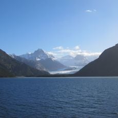
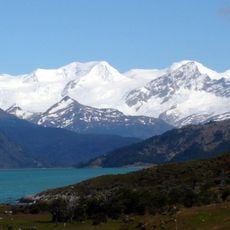
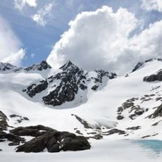
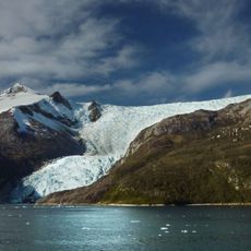
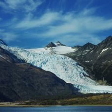
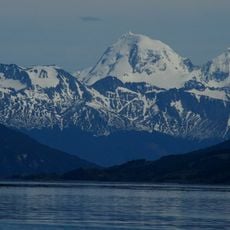
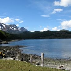
Parque Nacional Yendegaia covers 150,612 hectares on south-central Isla Grande de Tierra del Fuego, between the Azopardo River and Fagnano Lake to the north and the Beagle Channel to the south. It takes in the eastern Darwin Range, glaciers descending from it, Magellanic forest, lakes, rivers and fjords, and part of Yendegaia Bay.

Yendegaia National Park was first conceived in 2011 as one of the projects marking Chile's Bicentennial. The state contributed 111,832 ha of fiscal land and the Tompkins' Yendegaia Foundation donated the 38,780 ha Estancia Yendegaia, a former forestry and cattle estate bought in 1998. After a 2014 comptroller's hold and Douglas Tompkins' death in December 2015, the park began official operation on 22 March 2016.

The park's name comes from Estancia Yendegaia, the former forestry and cattle estate that Douglas Tompkins's foundation bought in 1998 and later gave to the Chilean state. The Y-85 road and the ferry link to Puerto Williams are the access routes now being developed for visitors.

Access is by sea from Puerto Williams or along the Y-85 road south from Porvenir, which was still under construction when the park opened in 2016. No official trails exist yet; informal routes of varying difficulty start at the end of the Y-85 and near Lake Fagnano. Winter temperatures can fall to 11 °C below zero, and rain and overcast skies are frequent.

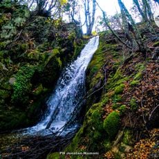
The park protects one of the last remaining sub-Antarctic beech forests, a remnant of the Gondwana supercontinent dated to about 180 million years ago. Among its trees are lenga (Nothofagus pumilio), coigüe (Nothofagus dombeyi) and canelo (Drimys winteri).

The community of curious travelers

AroundUs brings together thousands of curated places, local tips, and hidden gems, enriched daily by 92,638 contributors worldwide.

Start exploring
Location
Provincia de Tierra del Fuego
GPS coordinates
-54.71041,-68.82209
Latest update
October 24, 2026 20:59
Reviews
Share your experience

No review yet

Discussions
Start a discussion...

No discussion yet

« Yendegaia National Park - National park in Tierra del Fuego, Chile » is provided by Around Us (aroundus.com). Images and texts are derived from Wikimedia project under a Creative Commons license. You are allowed to copy, distribute, and modify copies of this page, under the conditions set by the license, as long as this note is clearly visible.

Discover hidden gems everywhere you go!

From secret cafés to breathtaking viewpoints, skip the crowded tourist spots and find places that match your style. Our app makes it easy with voice search, smart filtering, route optimization, and insider tips from travelers worldwide. Download now for the complete mobile experience.
Around Us App Screenshot
❝

A unique approach to discovering new places❞

— Le Figaro

❝

All the places worth exploring❞

— France Info

❝

A tailor-made excursion in just a few clicks❞

— 20 Minutes

Around Us
Travel Guide & Maps
Download

Send to your phone

QR Code
1

Open the camera app on your mobile.

2

Point at the QR code with your camera. A notification will appear.

3

Tap the notification to open the link.