Arauco, commune of Chile
The community of curious travelers
AroundUs brings together thousands of curated places, local tips, and hidden gems, enriched daily by 60,000 contributors worldwide.
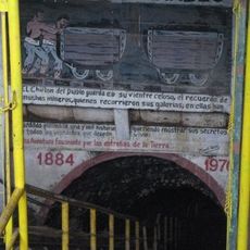
El Chiflón del Diablo
31.8 km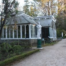
Parque Isidora Cousiño
29.9 km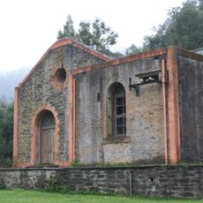
Chivilingo Hydroelectric Plant
28.3 km
Fort Tucapel
56.5 km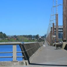
Puente Llacolén
58 km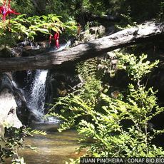
Nonguén National Park
57 km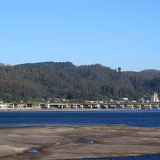
Puente Chacabuco
57.9 km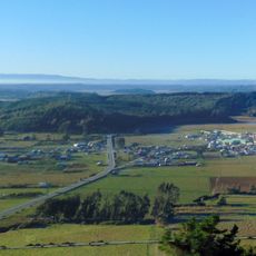
Llico
17.7 km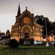
Iglesia de San Matías Apóstol, Lota
30.8 km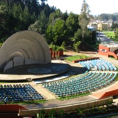
Anfiteatro de San Pedro de la Paz
55.7 km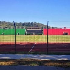
Estadio Federico Schwager
37.3 km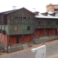
Pabellón 83
30.3 km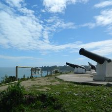
Fort Colcura
29.3 km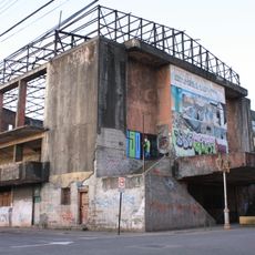
Teatro de los Mineros de Lota
30.5 km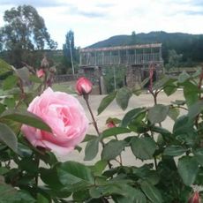
Fuerte de Santa Juana de Guadalcazar
42.7 km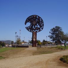
Monumento a la clava
56.2 km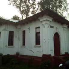
Gota de Leche
30.7 km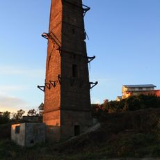
Torre Centenario, Lota
30.1 km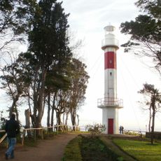
Punta Lutrín lighthouse
29.6 km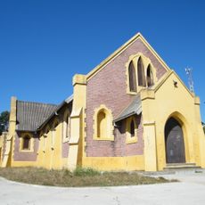
Iglesia de Jesús Obrero, Schwager
35.3 km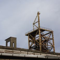
Cabrias del pique Arenas Blancas
36.5 km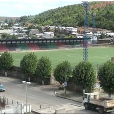
Estadio Raúl Erazo
20.9 km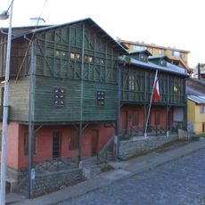
Centro Cultural Comunitario Monumento Histórico Pabellón 83
30.4 km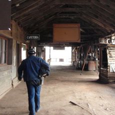
Museo Mina Chiflón del Diablo
31.8 km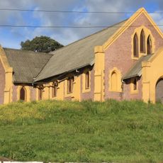
Sector Puchoco-Schwager
35.2 km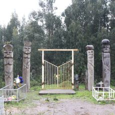
Eltún de Los Huape
19.3 km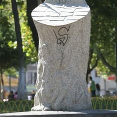
Memorial por los Derechos Humanos de Coronel
36.6 km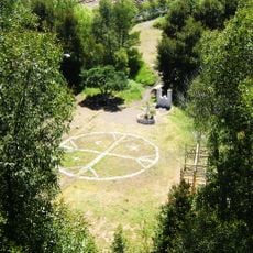
Parque Hito a Galvarino
43.2 kmDiscover hidden gems everywhere you go!
From secret cafés to breathtaking viewpoints, skip the crowded tourist spots and find places that match your style. Our app makes it easy with voice search, smart filtering, route optimization, and insider tips from travelers worldwide. Download now for the complete mobile experience.

A unique approach to discovering new places❞
— Le Figaro
All the places worth exploring❞
— France Info
A tailor-made excursion in just a few clicks❞
— 20 Minutes