El Oro Province, Coastal province in southern Ecuador
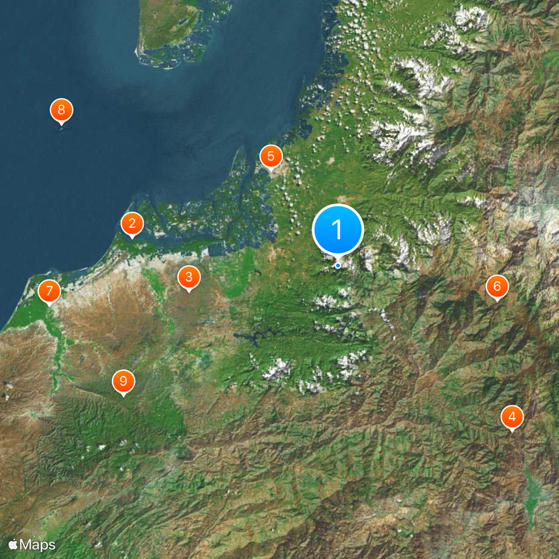
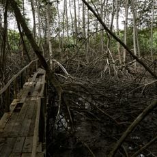
El Oro runs along the southern Pacific coast of Ecuador, linking flat coastal stretches with wooded hills further inland. Rivers cross the territory from east to west, meeting mangroves and sandy bays near the sea.
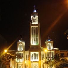
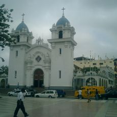
The territory became an official province on April 23, 1884, after centuries of activity linked to mineral deposits in the hills. Later, the economy shifted toward agriculture and banana export through the port city of Machala.
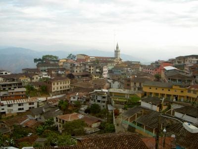
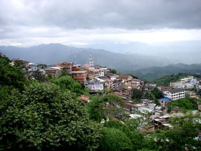
The region takes its name from the gold deposits once mined in the inland hills. Towns closer to the mountains still show traces of this past in their older buildings and small mining displays.
Travelers can choose between coastal towns and mountain villages, each offering different climates and scenery. Bus routes connect these places, though journeys into the hills often involve winding roads.
In the southeast lies the Puyango petrified forest, where Cretaceous tree trunks roughly 100 million years old sit exposed on the ground. The site is considered one of the world's largest gatherings of fossilized wood and sits close to the Peruvian border.
Location: Ecuador
Inception: April 23, 1884
Capital city: Machala
Elevation above the sea: 272 m
Shares border with: Guayas Province, Azuay Province, Loja Province, Tumbes Department
Website: https://eloro.gob.ec
GPS coordinates: -3.48333,-79.81667
Latest update: December 15, 2025 01:25
Tumbes Mangals National Sanctuary
51.4 km
Arenillas Ecological Reserve
37.3 km
Basilica of El Cisne
59.6 km
Our Lady of Mercy Cathedral, Machala
29 km
Cerro de Arcos
40.5 km
St. Nicholas Cathedral, Tumbes
72.3 kmRefugio de vida silvestre Isla Santa Clara
77.1 kmAngostura Faical Regional Conservation Area
62.1 kmCañón del Tigre (dalama sa Peru)
78.8 kmCañón del Mango
80.4 kmCasa de Feijoo
72 kmCasa de Peña
71.9 kmAntiguo cabildo de Tumbes
72 kmHotel de turistas de Tumbes
71.8 kmCasa de Noblecilla
71.9 kmCasa de Cabrera García
71.9 kmBalniario El Pivir
26.6 kmPomaYaku
19.6 kmBalneario la colina
16.6 kmLa Chorrera
34.5 kmSan Martín
23.1 kmEl Sexmo Mina Turística
32.1 kmAguas Calientes
34.5 kmBalneario Santa Marianita
27 kmCabañas de Javier
9.9 kmQuinta Joshua
31.2 kmCafé Verde
27.8 kmMural at el Paso
29.8 kmVisited this place? Tap the stars to rate it and share your experience / photos with the community! Try now! You can cancel it anytime.
Discover hidden gems everywhere you go!
From secret cafés to breathtaking viewpoints, skip the crowded tourist spots and find places that match your style. Our app makes it easy with voice search, smart filtering, route optimization, and insider tips from travelers worldwide. Download now for the complete mobile experience.
A unique approach to discovering new places❞
— Le Figaro
All the places worth exploring❞
— France Info
A tailor-made excursion in just a few clicks❞
— 20 Minutes