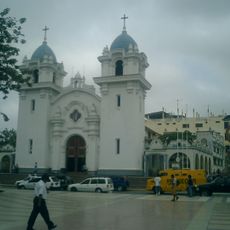
Machala Canton, Administrative canton in El Oro Province, Ecuador.
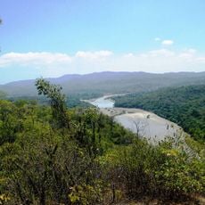
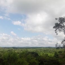
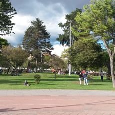
Machala Canton is an administrative region in the coastal lowlands of El Oro Province, stretching across flat terrain beside the Gulf of Guayaquil. The territory combines urban centers with extensive agricultural areas that shape the local economy.
The region received its official designation in 1824, after Ecuador gained independence from Spanish colonial rule. This moment marked the start of its modern administrative history following the country's political reorganization.
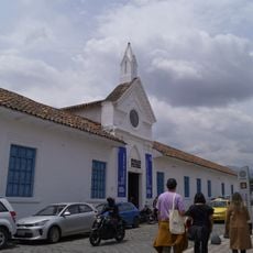
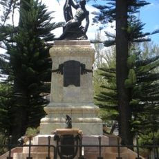
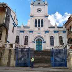
The area is home to people from different backgrounds whose traditions shape daily life and local celebrations. You can see this diversity in the food, festivals, and the way communities interact with one another.
The best time to visit is during the drier months, as the coastal region experiences significant rainfall variations throughout the year. Puerto Bolívar port is a key reference point and entry hub for visitors and business travelers.
The area is known for its extensive banana plantations that supply a significant portion of global banana exports. This agricultural focus has shaped the entire character of the region and draws people interested in learning about production methods.
Location: El Oro Province
Inception: June 25, 1824
Elevation above the sea: 9 m
Website: http://machala.gob.ec
GPS coordinates: -3.26667,-79.96667
Latest update: December 7, 2025 19:27
El Cajas National Park
95.3 km
Tumbes Mangals National Sanctuary
38.3 km
Amotape Hills National Park
120.1 km
New Cathedral of Cuenca
114.5 km
Museo Pumapungo
115 km
Churute Mangroves Ecological Reserve
90 km
Arenillas Ecological Reserve
36.4 km
Estadio Alejandro Serrano Aguilar
114.1 km
Basilica of El Cisne
88.5 km
Old Cathedral of Cuenca
114.6 km
Tumbes National Reserve
79.4 km
Hospital de Especialidades Teodoro Maldonado Carbo
115.4 km
Playa Varadero
70.9 km
Estadio Alejandro Ponce Noboa
112.4 km
Our Lady of Mercy Cathedral, Machala
372 m
Jardín botánico Reinaldo Espinosa
87.8 km
Museum Remigio Crespo Toral
114.4 km
Cerro de Arcos
65.1 km
St. Nicholas Cathedral, Tumbes
64.5 km
Museo Municipal de Arte Moderno
113.9 km
Macará River
115.1 km
Tren Crucero
115.6 km
Cañar River
71.4 km
Museum of Aboriginal Cultures
114.6 km
Balao Grande River
45.3 km
Monument to Abdón Calderón
114.6 km
Parque de la Madre
114.4 km
Iglesia de San José del Vecino
115.6 kmVisited this place? Tap the stars to rate it and share your experience / photos with the community! Try now! You can cancel it anytime.
Discover hidden gems everywhere you go!
From secret cafés to breathtaking viewpoints, skip the crowded tourist spots and find places that match your style. Our app makes it easy with voice search, smart filtering, route optimization, and insider tips from travelers worldwide. Download now for the complete mobile experience.
A unique approach to discovering new places❞
— Le Figaro
All the places worth exploring❞
— France Info
A tailor-made excursion in just a few clicks❞
— 20 Minutes