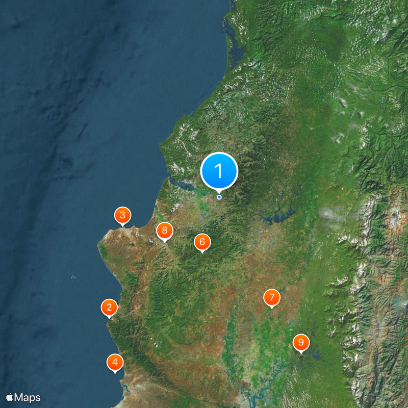
Manabí Province, Coastal province in western Ecuador
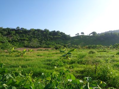
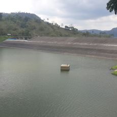
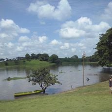
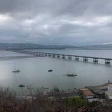
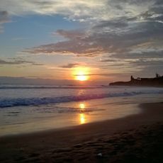
Manabí Province is a coastal region on the Pacific side of Ecuador, covering several climate zones and types of terrain. The shoreline alternates between flat sandy stretches, rocky outcrops, and small bays, while the interior rises into dry hills and agricultural valleys.
The region became an administrative unit in the early 19th century after Ecuador separated from colonial rule. Archaeological evidence shows that the coast was settled for more than 4000 years before that and later became part of the Manteño civilization.
Fishing communities along the shore still mend nets by hand on the beach each morning before heading out to sea. Markets in the smaller towns display fresh catch alongside woven baskets and other handmade items from nearby villages.
The best time to visit is during the dry months when roads are easier to travel and the weather stays mostly sunny throughout the day. Travelers should keep in mind that coastal towns are smaller and less developed than larger cities inland.
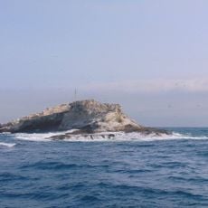
Part of the coast sits on the geographic line where the northern and southern Pacific meet, so two ocean currents collide here. This mixing brings nutrient-rich water to the surface and attracts whales and other large marine animals.
Location: Ecuador
Inception: June 25, 1824
Capital city: Portoviejo
Elevation above the sea: 89 m
Shares border with: Esmeraldas Province, Santo Domingo de los Tsáchilas Province, Los Ríos Province, Guayas Province, Santa Elena Province
Website: http://manabi.gob.ec
GPS coordinates: -0.75000,-80.08333
Latest update: December 15, 2025 01:27
Machalilla National Park
122.8 kmPlaya Murciélago
75.8 km
Reserva marina El Pelado
153.3 km
Estadio Reales Tamarindos
53 km
Poza Honda
43.2 km
Abras de Mantequilla
91.8 km
Botanical garden of Portoviejo
52.5 km
Our Lady of Mercy Cathedral, Babahoyo
131.9 kmPlaya San Lorenzo
98.3 kmRefugio de Vida Silvestre Isla Corazón y Fragatas
33.4 km
Puerto Amistad Yatch Club
41.1 kmEmbalse Daule-Peripa
44.7 km
Montañita Beach
141.1 kmPoza Honda
40.7 kmBilsa Biological Reserve
60 kmMache-Chindul Ecological Reserve Permnent Plot Two
129.1 kmMache-Chinul Ecological Reserve Plot Two
130.3 kmQuinta muentes
49.1 kmQuinta Linda
13.5 kmBalneario "El Tape" Platanales
13.5 kmParque Central
64.1 kmHumpback Whale Skeleton
120.4 kmFlorecimiento d guayacanes
85.6 kmMirador el renacer
122.4 kmPlayita de Salitre
123.6 kmBalneario Miemy Rio Pupusa
67.9 kmCabo Pasado
60.7 kmPlaya San Mateo
84.2 kmVisited this place? Tap the stars to rate it and share your experience / photos with the community! Try now! You can cancel it anytime.
Chone Canton
Pedernales Canton
Olmedo Canton
Manta Canton
Portoviejo Canton
Sucre Canton
Veinticuatro de Mayo Canton
El Carmen Cantón
Flavio Alfaro Canton
Jama Canton
Montecristi Canton
Bolívar Canton
Jaramijó Canton
Jipijapa Canton
Junín Canton
Paján Canton
Pichincha Canton
Puerto López Canton
Rocafuerte Canton
San Vicente Canton
Tosagua Canton
Santa Ana Canton
Discover hidden gems everywhere you go!
From secret cafés to breathtaking viewpoints, skip the crowded tourist spots and find places that match your style. Our app makes it easy with voice search, smart filtering, route optimization, and insider tips from travelers worldwide. Download now for the complete mobile experience.
A unique approach to discovering new places❞
— Le Figaro
All the places worth exploring❞
— France Info
A tailor-made excursion in just a few clicks❞
— 20 Minutes