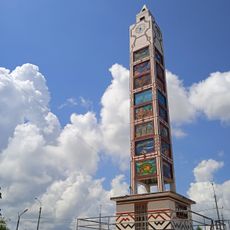
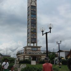
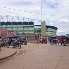
Pucallpa, Commercial port city on the Ucayali River, Peru
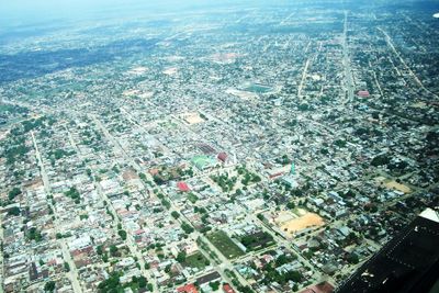
Pucallpa is a trading city on the banks of the Ucayali River in the Peruvian Amazon, serving as the capital of Ucayali Region. The city extends along the riverfront with a working port, timber yards, and residential neighborhoods spreading inland from the water.
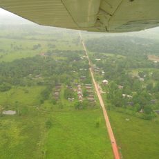
The settlement began in the 1840s as a small mission station and remained accessible only by river for many decades. The road connection to Lima was completed in 1945, transforming the outpost into a major hub for trade and transport between the Andes and the Amazon.
The Shipibo-Conibo communities shape daily life in the neighborhoods through their pottery decorated with geometric patterns and their textile art based on techniques passed down through centuries. Visitors can see this craftsmanship at the markets, where women in traditional dress sell their work directly and often speak with one another in their own language.
Travelers reach the city through Captain Rolden International Airport or by river vessels that navigate the Ucayali from Iquitos to the north. The hot and humid conditions last throughout the year, so lightweight clothing and protection from sun and rain are advisable.
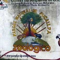
The natural park at the edge of town protects 28 hectares (69 acres) with over 400 Amazonian plant and animal species, including monkeys and sloths that have grown accustomed to human visitors. Walkers follow trails through the forest, where the boundary between city and jungle dissolves within a few steps.
The community of curious travelers
AroundUs brings together thousands of curated places, local tips, and hidden gems, enriched daily by 60,000 contributors worldwide.