Navarino Island

Log in to your account

AroundUs is a community-driven map of interesting places, built by curious explorers like you. It grows with every review, story, and photo you share.
Connect to save your favorite spots, contribute locations, and create personalized routes.
Continue with Google
Continue with Apple
Continue with X
Continue with Facebook
Continue with email
By continuing, you accept our Terms and Conditions and our Privacy Policy
Create an account

Navarino Island

Add to collection
Map
Suggest a change
Share

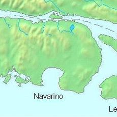
Navarino Island, Remote island in Tierra del Fuego archipelago, Chile.

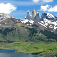
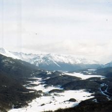
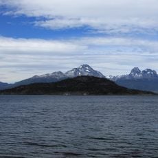
Navarino Island is a large landmass in the Tierra del Fuego archipelago, located between the southern mainland and Cape Horn. The landscape features steep mountain ranges, windswept plateaus, and extensive peat bogs that remain wet and exposed year-round.

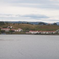
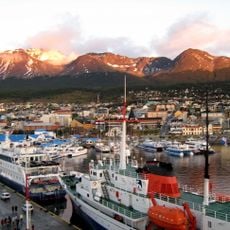
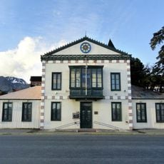
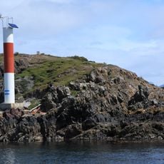
British seafarers visited and named the island in 1829 after a European naval battle. Puerto Williams later developed as the world's southernmost city and became a stopping point for ships navigating Cape Horn.

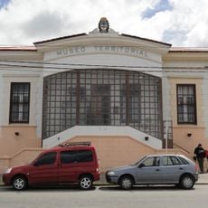
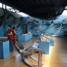
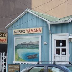
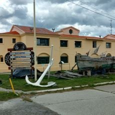
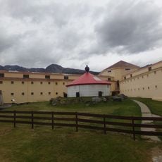
The Martin Gusinde Anthropological Museum in Puerto Williams displays objects and information about the Yahgan people who lived here for thousands of years. You can see how their daily life connected to the ocean and the land around the island.

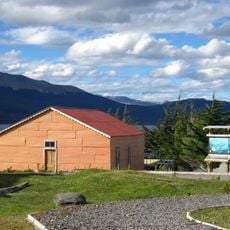
Puerto Williams, the main settlement, can be reached by plane or boat from mainland Chile and serves as a base for activities. Visitors should prepare for extreme winds and rapidly changing weather conditions typical of this southern location.

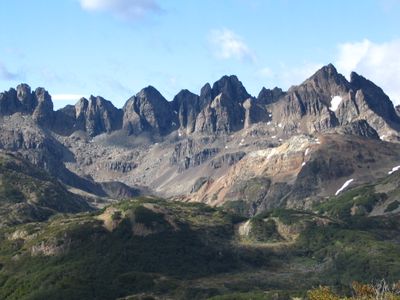
The Dientes de Navarino is a mountain route considered one of the southernmost treks in the world and follows unmarked paths through remote terrain. The route crosses mountain passes and open landscapes without established infrastructure, making it a challenging expedition for experienced hikers.

GPS coordinates: -55.11230,-67.60623

Latest update: December 6, 2025 16:02

Photos
Must-see attractions in Chile, land of contrasts

Chile stretches over 2,670 miles (4,300 kilometers) from north to south, crossing some of South America's most varied landscapes. The north features the Atacama Desert with its salt flats, geysers at El Tatio, and astronomical observatories such as Paranal. The coastal city of Valparaíso displays...

Reviews

Visited this place? Tap the stars to rate it and share your experience / photos with the community! Try now! You can cancel it anytime.

« Navarino Island - Remote island in Tierra del Fuego archipelago, Chile » is provided by Around Us (aroundus.com). Images and texts are derived from Wikimedia project under a Creative Commons license. You are allowed to copy, distribute, and modify copies of this page, under the conditions set by the license, as long as this note is clearly visible.

Discover hidden gems everywhere you go!

From secret cafés to breathtaking viewpoints, skip the crowded tourist spots and find places that match your style. Our app makes it easy with voice search, smart filtering, route optimization, and insider tips from travelers worldwide. Download now for the complete mobile experience.

Around Us App Screenshot

A unique approach to discovering new places

Le Figaro

All the places worth exploring

France Info

A tailor-made excursion in just a few clicks

20 Minutes