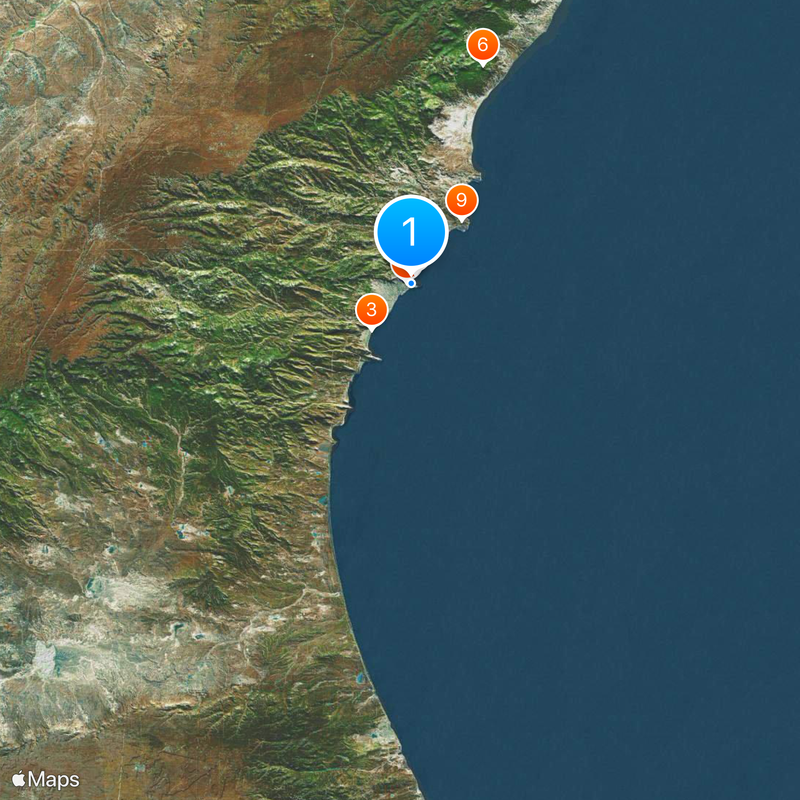
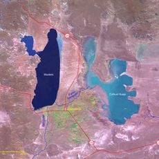
Comodoro Rivadavia, Port city in southeastern Chubut Province, Argentina.
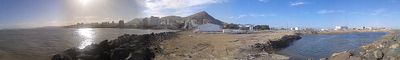
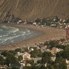
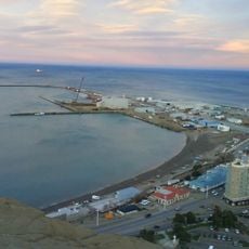
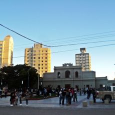
Comodoro Rivadavia is a port city on the Atlantic coast in Chubut Province, wedged between the San Jorge Gulf and the Pampa Salamanca plateau. The city spreads across several neighborhoods along the shore, with residential areas climbing gentle hills and industrial facilities sitting in inlets.
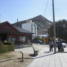
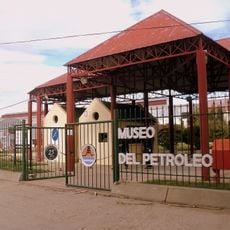
The discovery of oil in 1907 turned a small port settlement into the center of Argentine oil production. Over the following decades, the population grew quickly as workers moved from other regions to join the drilling operations.
The oil industry shapes daily life, with workers and engineers living in neighborhoods built around drilling operations. Small houses from the early boom years still stand in some residential areas, home to families connected to petroleum work.
The General Enrique Mosconi airport offers several daily flights to Buenos Aires and connects other Patagonian cities. Windy conditions are common year-round, so warm clothing is advisable even in summer.
Wind farms surrounding the area form one of South America's largest wind energy complexes and supply one fifth of the city's electricity. On windy days, hundreds of turbines spin across the hills around town, shaping the landscape.
Location: Escalante Department
Inception: 1901
Elevation above the sea: 61 m
Website: http://comodoro.gov.ar
GPS coordinates: -45.86320,-67.47526
Latest update: December 15, 2025 00:01
Chenque Hill
822 m
Balneario Rada Tilly
8.8 km
Acueducto Lago Musters
3.8 km
Museo Nacional del Petróleo
2.9 km
Puerto Comodoro Rivadavia
1.6 km
Teodoro Nürnberg Railway Port Museum
240 m
IX Air Brigade. Historical Room "Mayor D. Ruben Eduardo Cuny"
5.5 km
Museo Regional Patagónico Prof. Antonio Garcés
1.2 km
Chalet Huergo Museum
2.9 km
Liceo Militar Gral. Roca (ex Hogar Escuela Pte. Perón)
3.5 km
Museo Histórico Militar Chacabuco
2 km
Rada Tilly
9.7 km
Choique
81 m
Cartel de Comodoro
317 m
Santa Lucía Golf Club
3.3 km
Anfiteatro
4.4 km
Playa de Restinga
9.4 km
Costanera
829 m
Balancín Km5
6.1 km
Alar Sur SRL
292 m
Campo de jineteada "El Palenque"
7.6 km
Work of art, sculpture
234 m
Work of art, sculpture
9.3 km
Mirador Cerro Chenque
1 km
Scenic viewpoint
8.5 km
Scenic viewpoint
2.3 km
Mirador Del Barrio Ciudadela
7.3 km
Waterfall
4.8 kmVisited this place? Tap the stars to rate it and share your experience / photos with the community! Try now! You can cancel it anytime.
Discover hidden gems everywhere you go!
From secret cafés to breathtaking viewpoints, skip the crowded tourist spots and find places that match your style. Our app makes it easy with voice search, smart filtering, route optimization, and insider tips from travelers worldwide. Download now for the complete mobile experience.
A unique approach to discovering new places❞
— Le Figaro
All the places worth exploring❞
— France Info
A tailor-made excursion in just a few clicks❞
— 20 Minutes