Acueducto Lago Musters, Water transportation infrastructure in Patagonia, Argentina
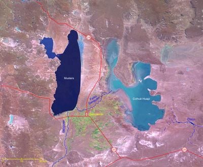
The Lago Musters Aqueduct is a pipeline system that transports water from Lake Musters across Patagonia to supply several municipalities in Chubut Province. The infrastructure moves water from a single natural source across vast distances to reach communities that would otherwise lack reliable supplies.
This aqueduct was completed in 1966 as a response to rapid population growth and water shortages in developing Patagonian cities. The project brought together engineering expertise to extract water from a stable source and deliver it to communities that had outgrown their local water supplies.
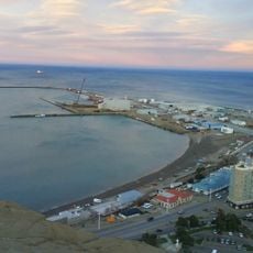
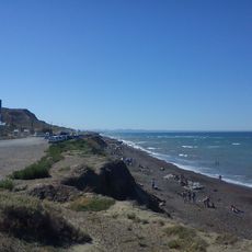
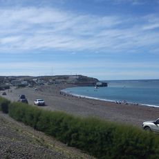
This aqueduct represents how communities in Patagonia solved the challenge of supplying water across a sparse, arid region where natural resources required careful engineering to reach distant settlements. The project shows how residents adapted to the harsh environment and built connections between isolated towns.
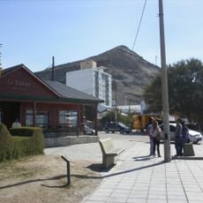
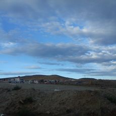
The pipeline runs mostly underground across the Patagonian plains and is not easily accessible for close inspection from a single location. To understand how this system connects the region, it helps to visit the different towns it supplies and see how the water reaches their neighborhoods.
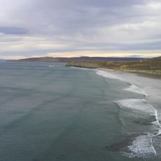
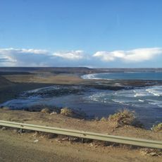
The system draws from Lake Musters, a deep blue body of water in central Patagonia that remains a stable water source even in this dry region where alternatives are scarce. The lake's glacial origins make it reliable for supplying water over long distances to multiple communities.
The community of curious travelers
AroundUs brings together thousands of curated places, local tips, and hidden gems, enriched daily by 60,000 contributors worldwide.