Geography of the Falkland Islands
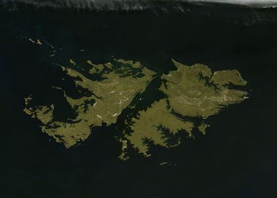
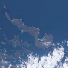
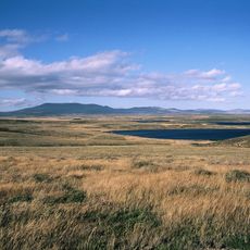
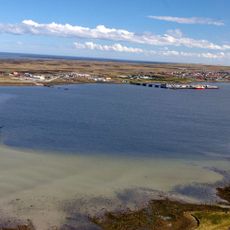
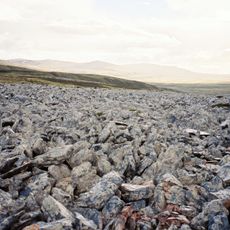
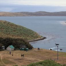
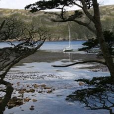
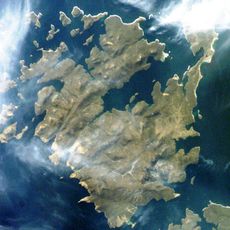
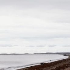
The Falkland archipelago is a group of islands in the South Atlantic Ocean, about 300 miles east of South America, consisting of two main islands and around 776 smaller islets. The landscape features rugged hills, extensive peat bogs, rocky stone runs made of angular quartzite, and an irregular coastline with deep bays and inlets.
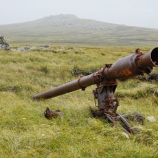
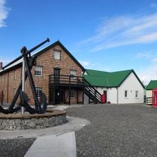
The islands formed over one billion years ago during the Precambrian era, with rock formations of quartzite from the Paleozoic period, similar to regions in southern Africa. Human settlement began mainly in the nineteenth century, and they gained international attention through a war between Britain and Argentina in 1982.
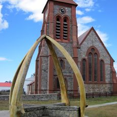
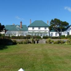
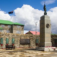
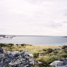
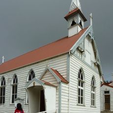
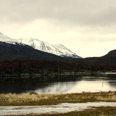
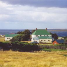
The islands reflect British traditions and local connection to nature. Residents share a strong maritime identity shaped by fishing, sheep farming, and daily life alongside wild animals like penguins and seabirds that define the island character.
Weather changes quickly and can be cool and windy, so visitors should bring warm, waterproof clothing and sturdy walking shoes. The islands are not crowded, and exploring on your own or with a guide allows for peaceful and personal experiences of the landscape.
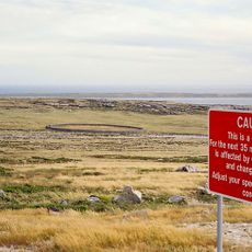
The stone run formations, thousands of angular quartzite blocks, were created by frost shattering during the last ice ages and now cover large areas of land. These geological features are a surprising natural sight that many visitors do not initially expect to see.
The community of curious travelers
AroundUs brings together thousands of curated places, local tips, and hidden gems, enriched daily by 60,000 contributors worldwide.