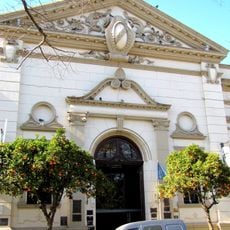
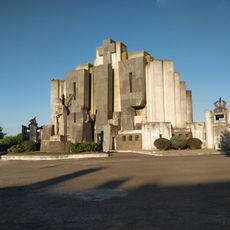
Tandil, University city in Buenos Aires Province, Argentina
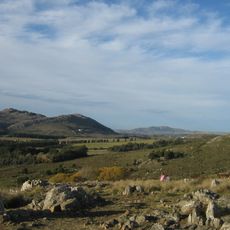
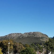
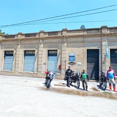
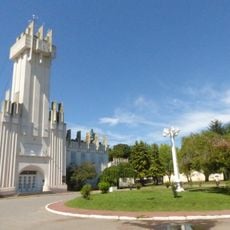
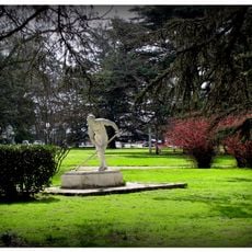
Tandil is a university town in Buenos Aires Province spread across the northern slopes of the hills, where granite outcrops and open valleys shape the surroundings. Residential areas climb the gentle slopes, while parks and public squares sit between neighborhoods and the commercial center.
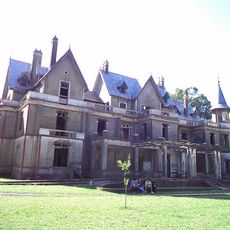
Colonel Martín Rodríguez founded Fort Independencia in April 1823 as a military outpost to secure the southern frontier. The original fortification gradually grew into a civilian settlement through the 19th century, with farming and ranching expanding around it.
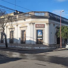
The name comes from the Mapuche language, referring to the rocky hills that shape the landscape around the settlement. Visitors find a mix of student life and traditional markets selling regional cheese, cured meats, and other local produce.
Access comes mainly through National Route 226, which crosses grassy plains before climbing into hilly terrain. Visitors typically reach the area by car or long-distance bus, as the journey takes several hours from larger cities.
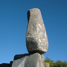
A massive granite boulder weighing around 300 tons balanced on a hilltop for centuries, swaying gently with wind or touch until it tumbled down in 1912. Today visitors can see a replica standing at the original site, marking the disappeared natural phenomenon.
The community of curious travelers
AroundUs brings together thousands of curated places, local tips, and hidden gems, enriched daily by 60,000 contributors worldwide.