
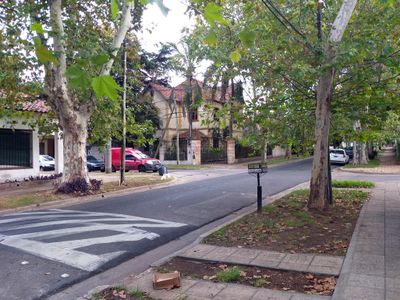
Florida Oeste, human settlement in Argentina
Location: Vicente López Partido
Inception: 1913
Elevation above the sea: 13 m
GPS coordinates: -34.53810,-58.51390
Latest update: March 20, 2025 03:44

Quinta presidencial de Olivos
3.8 km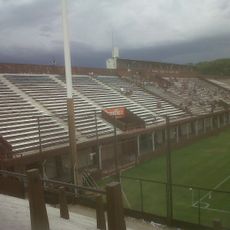
Estadio Ciudad de Vicente López
3 km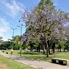
Parque Saavedra
3.4 km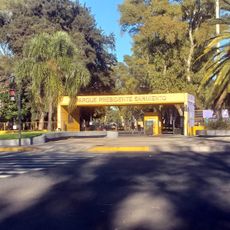
Parque Sarmiento
2.2 km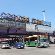
Puente Saavedra
3.5 km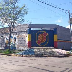
Estadio Libertarios Unidos
1.1 km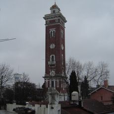
Torre Ader
2.9 km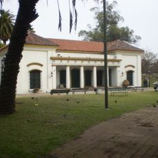
Museo Histórico de Buenos Aires Cornelio de Saavedra
3.4 km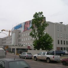
Fábrica Phillips
2.4 km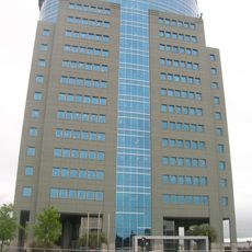
Edificio Panamericana Plaza
2.3 km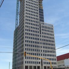
Intecons Tower
2.3 km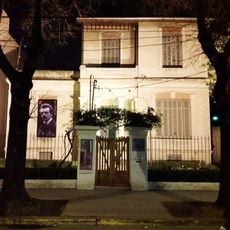
Carnacini House Museum
3.9 km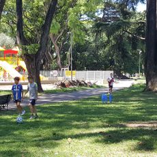
Historical Museum of Buenos Aires Cornelio Saavedra
3.4 km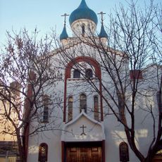
Catedral Ortodoxa Rusa de la Resurreccion
3.9 km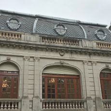
Museo de la Fundación Romulo Raggio
3.7 km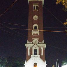
Torre Ader
2.9 km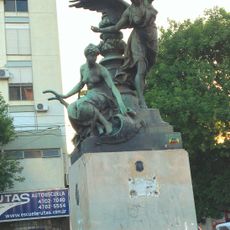
La agriucltura monument
4.1 km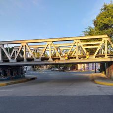
Ruiz Huidobro bridge
2.9 km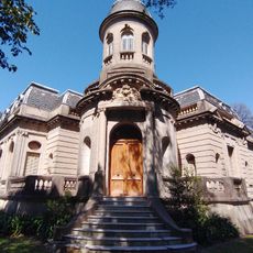
Romulo Raggio's Foundation
3.7 km
Lumiton Usina Audiovisual
1.2 km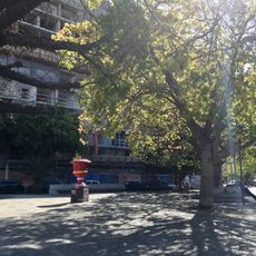
Motivo decorativo
3.6 km
Museo Fotográfico Alejandro Witcomb
4.1 km
Ho Chi Minh
4.2 km
Hoyts Dot
2.5 km
Biblioteca Popular Villa Pueyrredón Norte
4.4 km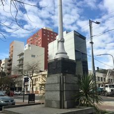
Homenaje a la Bandera
4.2 km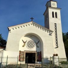
Parroquia San Juan Bautista el Precursor
3.1 km
Coloso
2.3 kmReviews
Visited this place? Tap the stars to rate it and share your experience / photos with the community! Try now! You can cancel it anytime.
Discover hidden gems everywhere you go!
From secret cafés to breathtaking viewpoints, skip the crowded tourist spots and find places that match your style. Our app makes it easy with voice search, smart filtering, route optimization, and insider tips from travelers worldwide. Download now for the complete mobile experience.

A unique approach to discovering new places❞
— Le Figaro
All the places worth exploring❞
— France Info
A tailor-made excursion in just a few clicks❞
— 20 Minutes