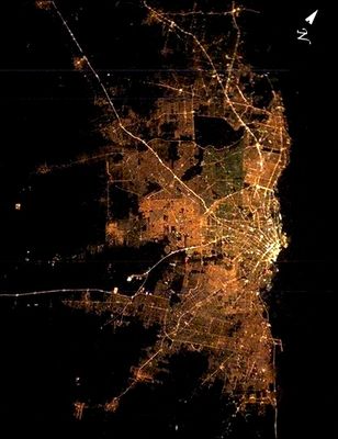
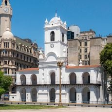
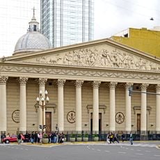
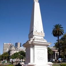
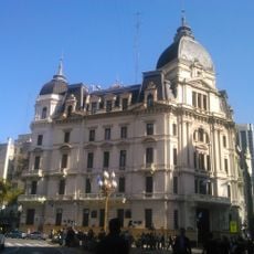
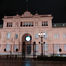
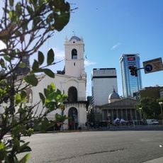
Greater Buenos Aires, Metropolitan region near Rio de la Plata, Argentina
Greater Buenos Aires spans 24 administrative districts surrounding the capital city, forming the largest urban concentration in Argentina. The region connects different residential neighborhoods, industrial zones, and commercial areas into a continuous metropolitan network along the Rio de la Plata.
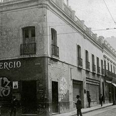
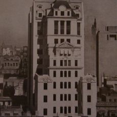
Urban expansion accelerated between 1945 and 1980, transforming rural territories into residential neighborhoods. This development shaped the current structure of the metropolitan region with its numerous outer districts and satellite towns.
Each district maintains local traditions through neighborhood festivals, street markets, and community centers that represent different immigrant communities. These events reveal how residents shape daily life and celebrate their cultural roots while developing a shared metropolitan identity.
The transportation network includes hundreds of bus lines, several train connections, and subway routes that link residents from different districts to the center. Travelers should expect longer journey times as built-up areas spread over considerable distances.
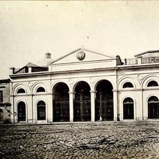
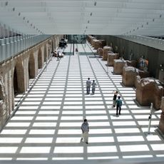
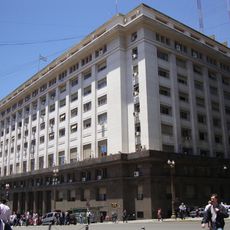
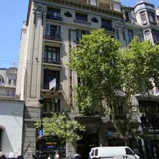
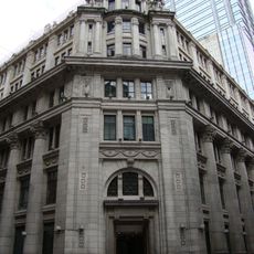
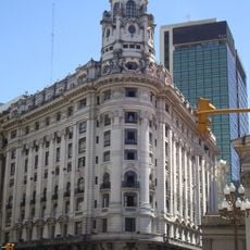
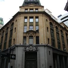
The region generates nearly half of Argentina's national economic output through its industrial zones, business districts, and service sectors. This economic importance becomes visible in the dense mix of factories, office complexes, and commercial centers scattered throughout the different districts.
The community of curious travelers
AroundUs brings together thousands of curated places, local tips, and hidden gems, enriched daily by 60,000 contributors worldwide.