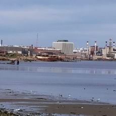
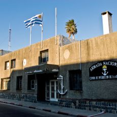
Cerro de Montevideo, Natural summit in Villa del Cerro, Montevideo, Uruguay.
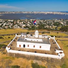
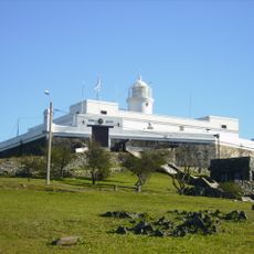
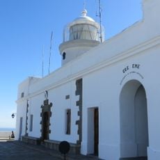
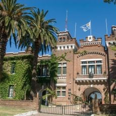
Cerro de Montevideo is a hill of 132 metres on the west shore of Montevideo Bay, the highest point in the department. Its summit holds the 1802 lighthouse and the Fortaleza General Artigas, completed in 1811. The hill is built of dark, hornblende-rich crystalline schists, not volcanic rock, and its basalt outcrops carry several cactus species.
The hill was already a landmark for navigators when Magellan's expedition recorded it in 1520 as "Monte Vidi". After Montevideo's founding, Bruno Mauricio de Zabala set up a lookout post on the summit. The lighthouse opened in 1802, and construction of the fortress began in 1809 and was completed in 1811.
The hill gave Montevideo its name: Magellan's pilot Francisco Albo recorded it as "Monte Vidi" in 1520, and theories such as "Monte vide eu" or the Latin "Montem video" remain unproven. Its silhouette crowned by a tower entered the city's first coat of arms in 1807 and stayed until the 1895 design, and it also appears on Uruguay's national shield.
The summit is reached on foot from Villa del Cerro, the neighbourhood on the hill's slopes; the lighthouse and the Fortaleza General Artigas stand together at the top. The fortress houses the Museo Militar General Artigas, where uniforms and weapons are displayed under the guard of soldiers. The hill is not a volcano: it is built of dark, hornblende-rich crystalline schists whose basalt rocks carry various cactus species.
The hill is not an extinct volcano, despite what popular literature sometimes claims. It is made of dark, hornblende-rich crystalline schists, and its basalt rocks support several cactus species. Its silhouette also appears in the upper right quarter of the coat of arms of Uruguay.
The community of curious travelers
AroundUs brings together thousands of curated places, local tips, and hidden gems, enriched daily by 92,667 contributors worldwide.