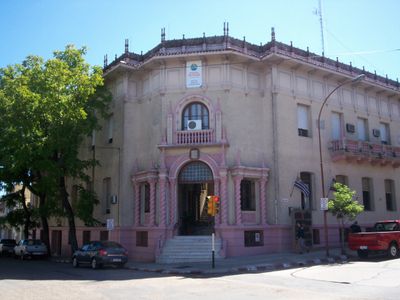
Paysandú, Regional capital on Uruguay River, Uruguay
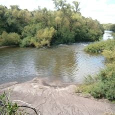
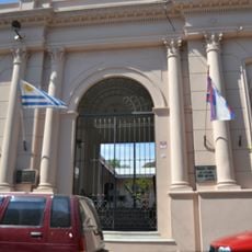
Paysandú is a regional capital that spreads along the Uruguay River on the western edge of the country. It functions as an important hub between neighboring countries thanks to its port and bridge connections.
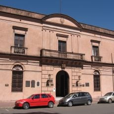
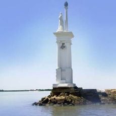
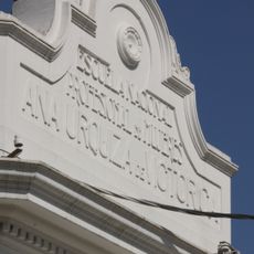
The city began in 1772 when a priest brought a group of Christian indigenous families to settle at this location. It became officially recognized as a city through a law in the 19th century.
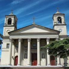
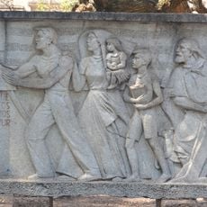
The name comes from its founder, and the city still shows traces of people who arrived from Italy, Switzerland, Poland, Germany, Russia, Ukraine, Belgium, and Africa. You can see this mix reflected in the buildings, family names, and the way locals celebrate their traditions.
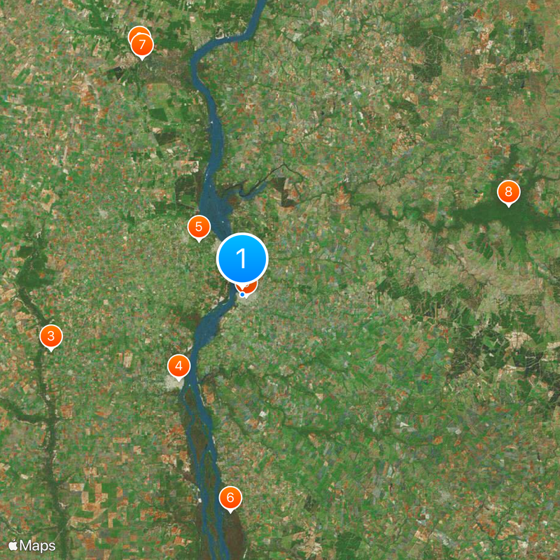
The city is reached by two main roads from different directions, with a major bridge providing direct access to the neighboring country. Montevideo is several hours away and offers the closest major airport for flights.
The city is home to several rowing clubs and maintained beaches along the river that locals enjoy using. A nearby airport provides connections to other destinations for travelers.
The community of curious travelers
AroundUs brings together thousands of curated places, local tips, and hidden gems, enriched daily by 60,000 contributors worldwide.