Área protegida Montes del Queguay, Protected natural area in Paysandú Department, Uruguay.
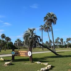
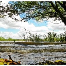
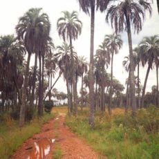
Área protegida Montes del Queguay is a protected area in the Paysandú Department of northwestern Uruguay, situated where the Queguay Grande and Queguay Chico rivers meet. The territory covers riverside forests, wetlands, lagoons, and basaltic hills, all within a relatively compact area.
Efforts to protect this area began in 1949, when residents from the nearby town of Guichón took steps to safeguard the forests along the Queguay. The area was formally recognized within Uruguay's National System of Protected Areas in 2014.
The area's name comes from the Queguay Grande and Queguay Chico rivers, whose confluence it protects. Local residents of Guichón first pushed for protection in 1949, when councillor and writer Adolfo Mac Ilriach presented a project to expropriate the land known as Rincón de Andrés Pérez as a native flora and fauna conservation centre.
Access is via routes 4 and 26, about 70 km from Paysandú and 40 km from Guichón. The floodplain drains slowly because of its low slope, so parts of the lowlands stay waterlogged even without extreme floods; plan for wet ground. The protected area covers 43,410 hectares, of which 19,969 are the effective protection zone.
The floodplain's near-flat slope makes it fill quickly and drain slowly, so water lingers long after rains. Its silty-clay Holocene sediments are rich in expansive montmorillonite clays, and the prolonged floods are thought to help recharge the Guaraní Aquifer. The forest was largely logged between 1930 and 1940, leaving secondary growth in accessible areas.
The community of curious travelers
AroundUs brings together thousands of curated places, local tips, and hidden gems, enriched daily by 93,765 contributors worldwide.