Enable Location

We need your location to show you interesting places around you

Discover nearby places

Find interesting locations and hidden gems around you

Precise directions

Get accurate directions and distances to places

Your location is never shared with other users. It's only used when you tap the location button.

Tacuarembó Department

Log in to your account

Start exploring — it's free

Trusted by 62,611 travelers worldwide

Continue with Google
Continue with Apple
or

We will send you a code to connect

By continuing, you accept our Terms and Conditions and our Privacy Policy

Check your inbox

We've sent a pincode in your inbox. Please enter the code below.

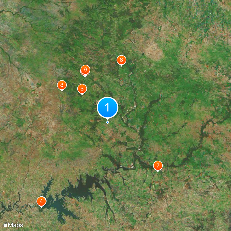
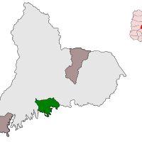
Tacuarembó Department, Administrative division in northern Uruguay.

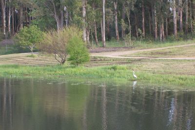
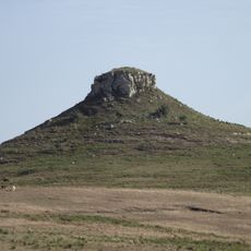
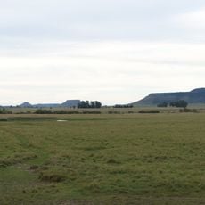
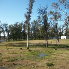
Tacuarembó Department is an administrative region in northern Uruguay that borders Rivera and Río Negro Departments. The landscape consists of rolling hills and open grasslands that form the heart of Uruguay's cattle country.

The department was created in 1837 when Paysandú was divided into separate regions, and later reshaped when Rivera separated to form its own territory in 1884. These territorial changes define the area as it exists today.

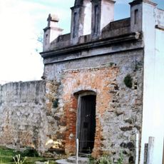
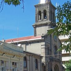
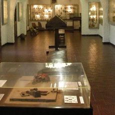
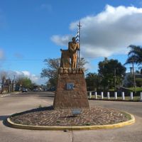
The region is deeply rooted in Gaucho traditions and cattle ranching, with festivals throughout the year celebrating this way of life. You can see and experience these customs in the landscape and daily local practices.

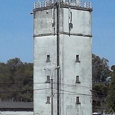
The department is well organized through a local road network with different postal zones that help with navigation. Most areas are easily accessible, particularly if you have your own transportation.

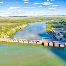
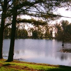
The Rincón del Bonete Reservoir sits along the southern border and ranks among South America's largest artificial water bodies. This lake shapes the landscape and influences the region's climate.

The community of curious travelers

AroundUs brings together thousands of curated places, local tips, and hidden gems, enriched daily by 60,000 contributors worldwide.

Start exploring
Inception
June 16, 1837
Capital city
Tacuarembó
Elevation above the sea
113 m
Part of
South America Midwest Integrated Zone
Shares border with
Rivera Department, Durazno Department, Salto Department, Río Negro Department, Paysandú Department, Cerro Largo Department
GPS coordinates
-32.11472,-55.75556
Latest update
December 20, 2025 11:46
« Tacuarembó Department - Administrative division in northern Uruguay » is provided by Around Us (aroundus.com). Images and texts are derived from Wikimedia project under a Creative Commons license. You are allowed to copy, distribute, and modify copies of this page, under the conditions set by the license, as long as this note is clearly visible.

Discover hidden gems everywhere you go!

From secret cafés to breathtaking viewpoints, skip the crowded tourist spots and find places that match your style. Our app makes it easy with voice search, smart filtering, route optimization, and insider tips from travelers worldwide. Download now for the complete mobile experience.

Around Us App Screenshot

A unique approach to discovering new places

Le Figaro

All the places worth exploring

France Info

A tailor-made excursion in just a few clicks

20 Minutes

Around Us
Travel Guide & Maps
Download

Send to your phone

QR Code
1

Open the camera app on your mobile.

2

Point at the QR code with your camera. A notification will appear.

3

Tap the notification to open the link.