Rincon de tres cerros, Natural area with three hills in Rivera Department, Uruguay.
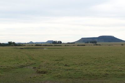
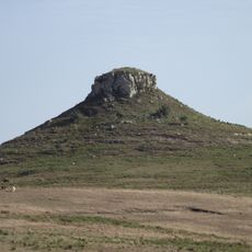
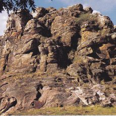
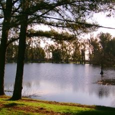
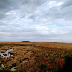
Rincon de tres cerros is a natural formation featuring three mesa-shaped hills that rise progressively from north to south. These hills stand out distinctly in the landscape near the Tacuarembó River, creating a recognizable geographic landmark in the region.
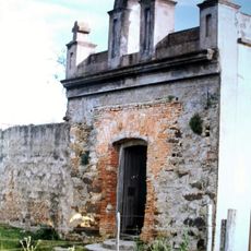
The area experienced significant population decline during the 1980s and 1990s, resulting in the closure of two rural schools that once served local students. This shift reshaped local infrastructure and community structure in lasting ways.
The three hills carry names that describe their shapes: Cerro Zapato, Cerro del Medio, and Cerro Chapeu. Local residents share stories passed down through generations about these formations, which remain woven into daily life.
The area can be reached from north or south via rural roads, but several river crossings at Paso Rogelio, Paso Cunha, and El Sauce can become impassable during flooding. Visitors should check weather conditions before traveling and be aware of alternative routes when water levels are high.
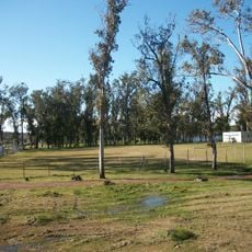
The northern hill still hosts a functioning rural public school, number 87, situated on the slopes of Cerro Zapato. This school stands as one of the few remaining educational facilities serving this sparsely populated region.
The community of curious travelers
AroundUs brings together thousands of curated places, local tips, and hidden gems, enriched daily by 60,000 contributors worldwide.