Rivera Department

Log in to your account

AroundUs is a community-driven map of interesting places, built by curious explorers like you. It grows with every review, story, and photo you share.
Connect to save your favorite spots, contribute locations, and create personalized routes.
Continue with Google
Continue with Apple
Continue with X
Continue with Facebook
Continue with email
By continuing, you accept our Terms and Conditions and our Privacy Policy
Create an account
Add to collection
Map
Suggest a change
Share

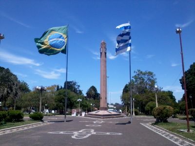
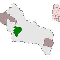
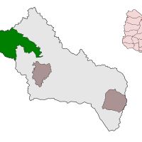
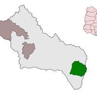
Rivera Department, Administrative division in northern Uruguay

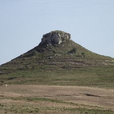
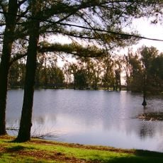
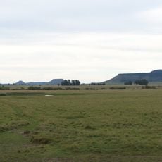
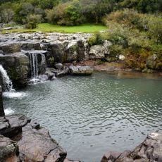
Rivera Department is an administrative region in northern Uruguay that stretches between Uruguay and Brazil, characterized by pastures, hills, and agricultural farmland. The area connects through railways and highways to major transportation networks and border communities across the region.

The department was established on October 1, 1884, during the presidency of Maximo Santos and named after General Fructuoso Rivera, the nation's first constitutional president. Its creation reflected administrative changes happening across Uruguay at that time.

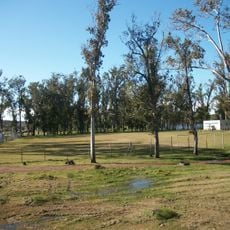
The people here are deeply connected to farming and ranching as a way of life, raising cattle and growing crops like rice and corn that shape daily routines. These activities define how communities organize their work and relate to the land.

The best way to reach this region is through the main highways that connect the department to Montevideo and Brazilian border towns. Visitors should expect rural infrastructure throughout the area, so traveling by car works best for exploring the different communities.

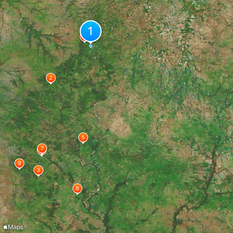
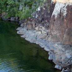
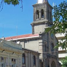
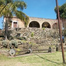
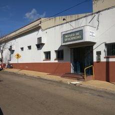
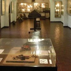
The department includes around 20 distinct towns, from Amarillo to Vichadero, each with its own local character and economic activities. These smaller communities reveal how rural life and commerce are distributed across the entire region.

Inception: 1884

Capital city: Rivera

Elevation above the sea: 152 m

Part of: South America Midwest Integrated Zone

Shares border with: Salto Department, Cerro Largo Department, Tacuarembó Department, Artigas Department, Rio Grande do Sul

Website: http://rivera.gub.uy

GPS coordinates: -30.90000,-55.55000

Latest update: December 14, 2025 07:49

Photos
Reviews

Visited this place? Tap the stars to rate it and share your experience / photos with the community! Try now! You can cancel it anytime.

« Rivera Department - Administrative division in northern Uruguay » is provided by Around Us (aroundus.com). Images and texts are derived from Wikimedia project under a Creative Commons license. You are allowed to copy, distribute, and modify copies of this page, under the conditions set by the license, as long as this note is clearly visible.

Discover hidden gems everywhere you go!

From secret cafés to breathtaking viewpoints, skip the crowded tourist spots and find places that match your style. Our app makes it easy with voice search, smart filtering, route optimization, and insider tips from travelers worldwide. Download now for the complete mobile experience.

Around Us App Screenshot

A unique approach to discovering new places

Le Figaro

All the places worth exploring

France Info

A tailor-made excursion in just a few clicks

20 Minutes