Enable Location

We need your location to show you interesting places around you

Discover nearby places

Find interesting locations and hidden gems around you

Precise directions

Get accurate directions and distances to places

Your location is never shared with other users. It's only used when you tap the location button.

Arroio Grande

Log in to your account

Start exploring — it's free

Trusted by 62,036 travelers worldwide

Continue with Google
Continue with Apple
or

We will send you a code to connect

By continuing, you accept our Terms and Conditions and our Privacy Policy

Check your inbox

We've sent a pincode in your inbox. Please enter the code below.

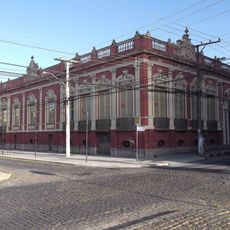
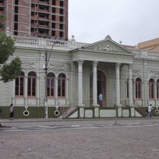
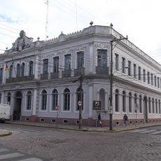
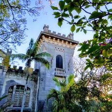
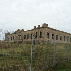
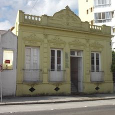
Arroio Grande, Administrative municipality in Rio Grande do Sul, Brazil

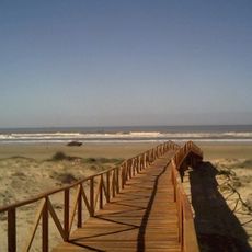
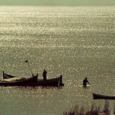
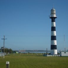
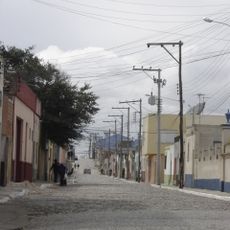
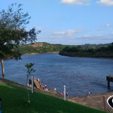
Arroio Grande is a municipality in southern Rio Grande do Sul characterized by numerous streams and waterways running through its territory. The landscape is dominated by farmland and rural settlements spread across the region.

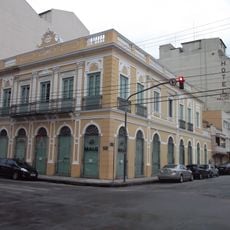
Manuel Jerônimo de Sousa established this settlement in 1803 near the Ferreira family ranch along a stream. The community gradually developed from this founding point into the agricultural region it is today.

Agriculture shapes daily life here, with rice paddies, soybean fields, and cattle ranches defining the landscape and local work. Farming remains central to how people live and work in this region.

The municipality is connected to major regional centers via BR-116 highway and state roads RS-602 and RS-473. These connections make reaching and moving around the area straightforward.

The territory is divided into three distinct districts - Mauá, Pedreiras, and Santa Izabel do Sul, each with its own character. This fragmented layout reflects how settlement patterns have developed across the area.

The community of curious travelers

AroundUs brings together thousands of curated places, local tips, and hidden gems, enriched daily by 60,000 contributors worldwide.

Start exploring
Elevation above the sea
22 m
Shares border with
Capão do Leão, Pedro Osório, Herval, Jaguarão, Rio Grande
GPS coordinates
-32.23778,-53.08694
Latest update
December 7, 2025 20:40
« Arroio Grande - Administrative municipality in Rio Grande do Sul, Brazil » is provided by Around Us (aroundus.com). Images and texts are derived from Wikimedia project under a Creative Commons license. You are allowed to copy, distribute, and modify copies of this page, under the conditions set by the license, as long as this note is clearly visible.

Discover hidden gems everywhere you go!

From secret cafés to breathtaking viewpoints, skip the crowded tourist spots and find places that match your style. Our app makes it easy with voice search, smart filtering, route optimization, and insider tips from travelers worldwide. Download now for the complete mobile experience.

Around Us App Screenshot

A unique approach to discovering new places

Le Figaro

All the places worth exploring

France Info

A tailor-made excursion in just a few clicks

20 Minutes

Around Us
Travel Guide & Maps
Download

Send to your phone

QR Code
1

Open the camera app on your mobile.

2

Point at the QR code with your camera. A notification will appear.

3

Tap the notification to open the link.