Enable Location

We need your location to show you interesting places around you

Discover nearby places

Find interesting locations and hidden gems around you

Precise directions

Get accurate directions and distances to places

Your location is never shared with other users. It's only used when you tap the location button.

São Lourenço do Sul

Log in to your account

Start exploring — it's free

Trusted by 62,033 travelers worldwide

Continue with Google
Continue with Apple
or

We will send you a code to connect

By continuing, you accept our Terms and Conditions and our Privacy Policy

Check your inbox

We've sent a pincode in your inbox. Please enter the code below.

São Lourenço do Sul

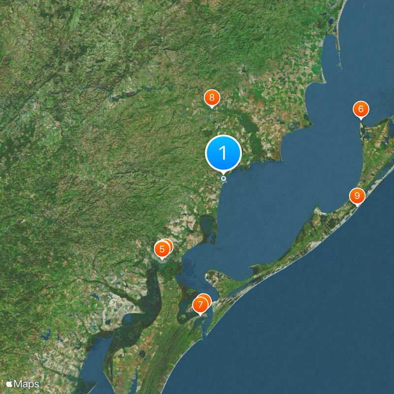
São Lourenço do Sul, Coastal municipality in Rio Grande do Sul, Brazil.

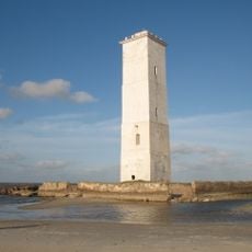
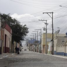
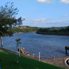
São Lourenço do Sul sits on the western shore of Lagoa dos Patos and spreads across a flat region in Brazil's southernmost state. The municipality features beaches, lagoons, and waterways that shape its landscape.

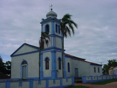
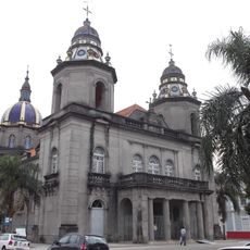
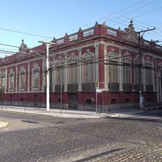
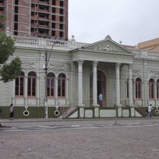
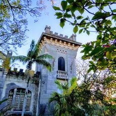
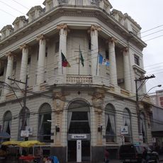
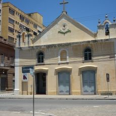
A chapel was built in 1809 on land donated by Afonso Pereira Chaves, and the settlement became an official municipality in 1884. The area later became involved in regional conflicts during the 1800s.

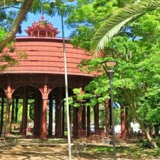
The Pomeranian Path is a tourism route where traditional houses and crafts reflect the German-Pomeranian immigration heritage. Visitors can experience local cooking and handmade goods that keep this heritage alive in the community today.

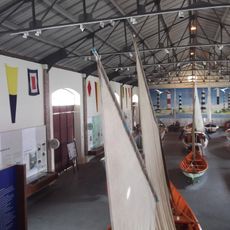
The waters of Lagoa dos Patos offer boating, fishing, and swimming opportunities, with Barrinha beach serving as the main landing spot. The area is easy to reach and lodging is available in several accommodation options throughout the region.

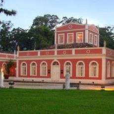
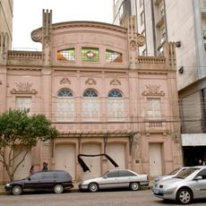
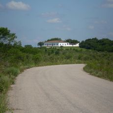
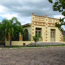
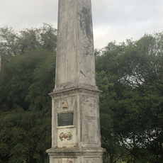
The Fazenda do Sobrado, a historic farmhouse, served as a command post during a regional rebellion in the 1800s and still holds period furniture from that time. This building shows the area's role in turbulent events of the past.

The community of curious travelers

AroundUs brings together thousands of curated places, local tips, and hidden gems, enriched daily by 60,000 contributors worldwide.

Start exploring
Elevation above the sea
26 m
Shares border with
Camaquã, Canguçu, Cristal, Pelotas, Turuçu
GPS coordinates
-31.36500,-51.97778
Latest update
December 20, 2025 16:18
« São Lourenço do Sul - Coastal municipality in Rio Grande do Sul, Brazil » is provided by Around Us (aroundus.com). Images and texts are derived from Wikimedia project under a Creative Commons license. You are allowed to copy, distribute, and modify copies of this page, under the conditions set by the license, as long as this note is clearly visible.

Discover hidden gems everywhere you go!

From secret cafés to breathtaking viewpoints, skip the crowded tourist spots and find places that match your style. Our app makes it easy with voice search, smart filtering, route optimization, and insider tips from travelers worldwide. Download now for the complete mobile experience.

Around Us App Screenshot

A unique approach to discovering new places

Le Figaro

All the places worth exploring

France Info

A tailor-made excursion in just a few clicks

20 Minutes

Around Us
Travel Guide & Maps
Download

Send to your phone

QR Code
1

Open the camera app on your mobile.

2

Point at the QR code with your camera. A notification will appear.

3

Tap the notification to open the link.