Mburucuyá National Park, National park in Mburucuyá Department, Argentina.
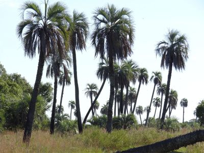
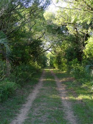
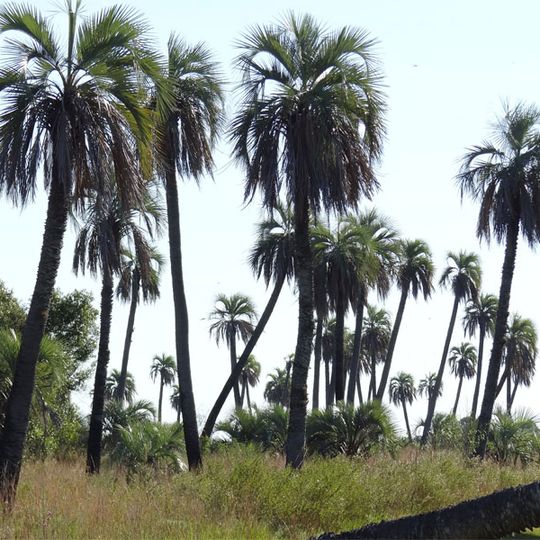
Mburucuyá National Park covers 17,682 hectares in the Mburucuyá department of Corrientes Province, about 150 km from Corrientes city. It holds three plant communities: Humid Chaco woodland with caranday palms, Espinal yatay palm savannas, and patches of Paranaense forest. Tall yatay palms with bare grey trunks and fan-shaped crowns stand over dry yellowish grass, and a dirt track runs beneath a leafy canopy.
The park gained its protected status in 2001 after Dr. Troels Myndel Pedersen and Nina Sinding donated the Santa Teresa and Santa María estates. These private lands were then converted into a national park under government management.
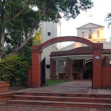
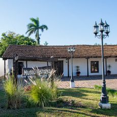
The name Mburucuyá comes from Guaraní and refers to the passion flower (mburucuyá). The Guaraní who lived here grew maize, squash, cotton, beans, yerba mate and cassava in village plots, trading the surplus with other peoples. The park's 20th-century buildings are the posts of ranch hands and the houses of owners and administrators.
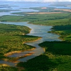
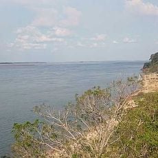
The park lies about 150 km from Corrientes city, in the northwest of Corrientes Province, and is reached via Provincial Route 86, which crosses part of the protected area. Soils are sandy-loam over a clay layer, and rain averages around 1300 mm a year with no dry season, so the ground can stay wet. The Santa Lucía Estero, a wetland within the park, holds the main fish populations.
The area sits at the intersection of three different ecological regions: the Humid Chaco, the Espinal, and the Paranaense Forest. This location allows animal and plant species to coexist that would normally live in separate regions.
The community of curious travelers
AroundUs brings together thousands of curated places, local tips, and hidden gems, enriched daily by 93,860 contributors worldwide.