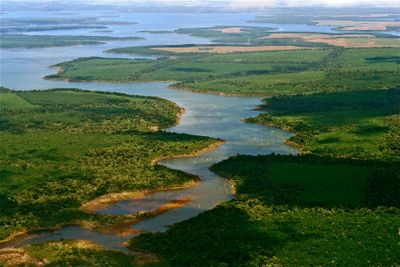
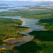
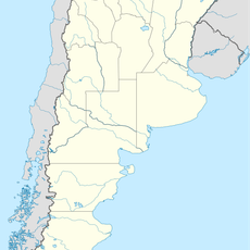
Yverá Wetlands, Ramsar protected wetland in Corrientes Province, Argentina
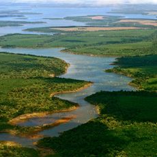
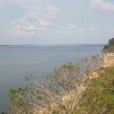
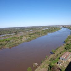
Yverá Wetlands is a protected area in northeastern Argentina that spreads across much of Corrientes Province and consists of shallow lagoons, floating islands, and interconnected channels. The area is surrounded by low grassland and scattered palm groves, while large sections of open water are covered with water hyacinths and other floating plants.
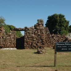
Guaraní communities settled near these waters and used the area for fishing and hunting over many centuries. Modern protection laws were introduced in the 1980s after uncontrolled rice farming and cattle ranching began threatening parts of the marshland.
The name Iberá derives from the Guaraní word for shining water and refers to the way the surface mirrors back the sky in still weather. Local families run lodges and small guesthouses along the edges of the marshland, combining hospitality with protection of their natural surroundings.
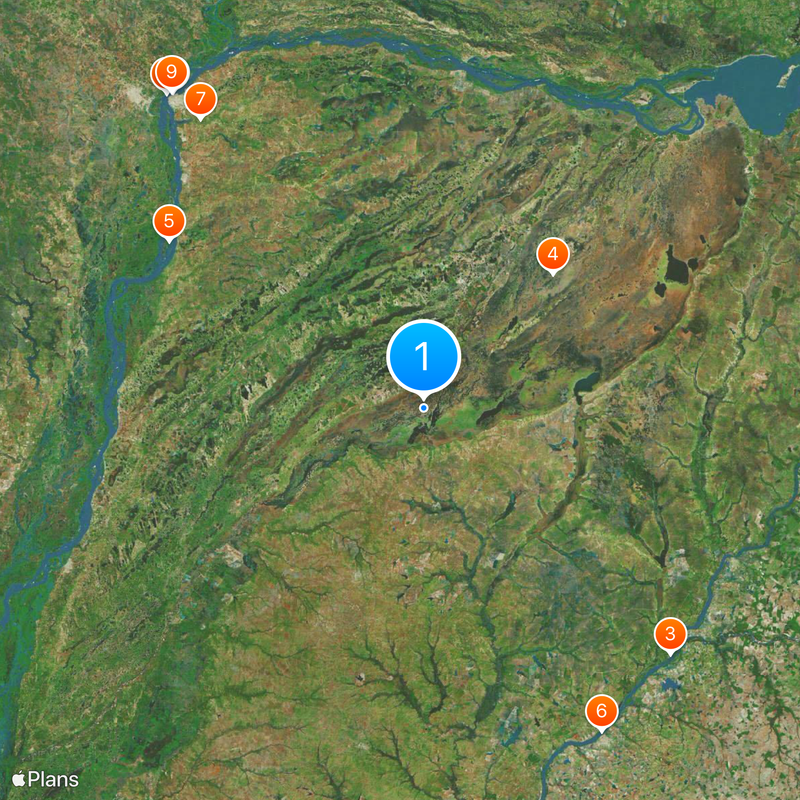
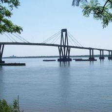
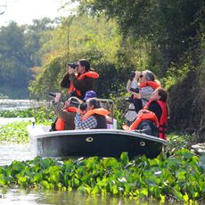
Access is available through several entry points, with Colonia Carlos Pellegrini being the best-equipped base for boat tours and wildlife watching. Warm clothing for early morning outings and waterproof footwear are advisable, as the terrain is often damp and muddy.
Floating islands made of tangled roots and plant matter drift slowly with wind and current through the lagoons and change their position regularly. Some of these islands are large enough to walk on, though they gently sway under the weight of a person.
The community of curious travelers
AroundUs brings together thousands of curated places, local tips, and hidden gems, enriched daily by 60,000 contributors worldwide.