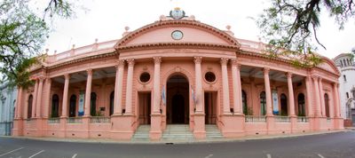
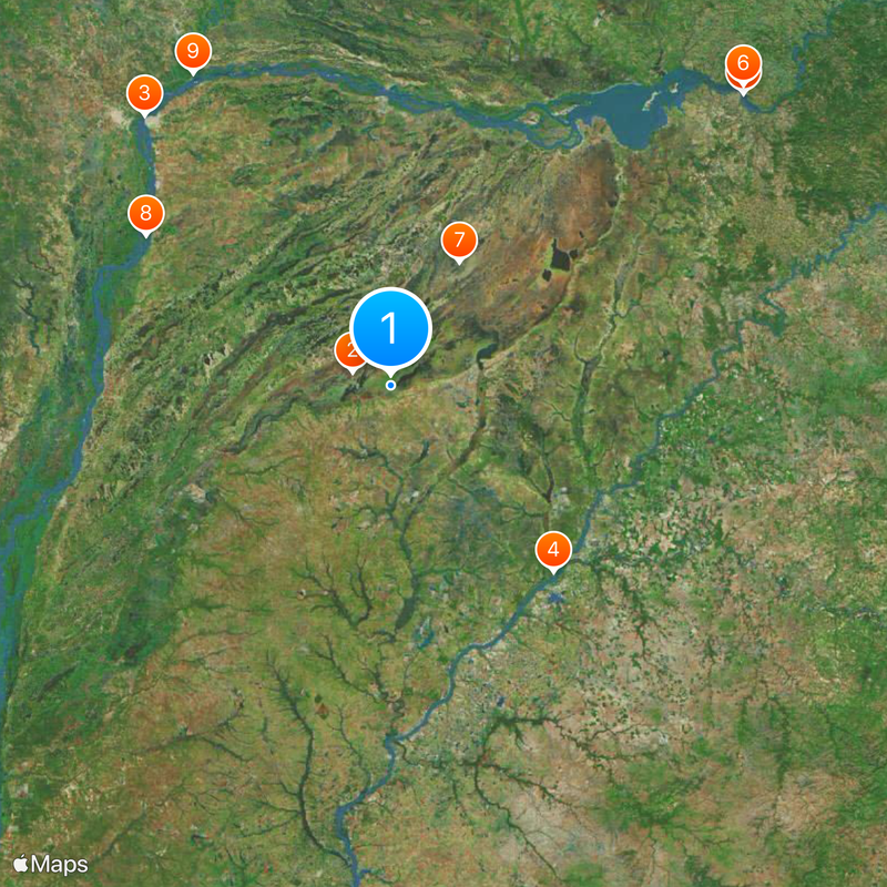
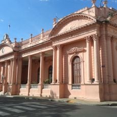
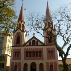
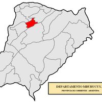
Corrientes Province, Province in northeastern Argentina
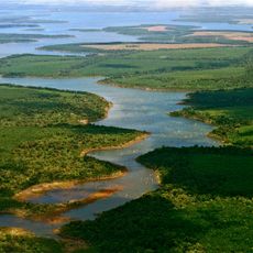
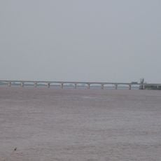
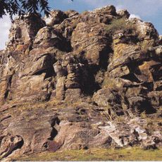
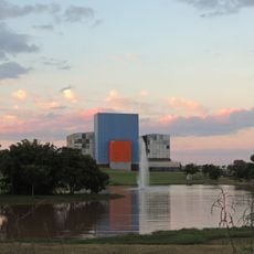
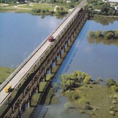
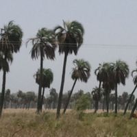
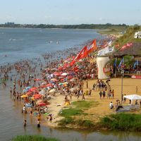
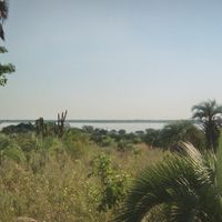
Corrientes Province is an administrative region in northeastern Argentina, lying between two major rivers and containing wide plains with wetlands, channels, and lakes. The terrain is shaped by subtropical marshland that spreads across much of the area and forms numerous interconnected water bodies.
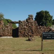
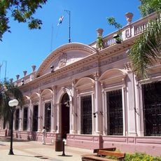
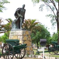
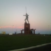
A Spanish navigator reached the area in the early 16th century during an exploration along the river. These first contacts later led to the founding of settlements that grew into permanent communities.
The region takes its name from the strong river currents that early navigators encountered here. Guaraní is spoken alongside Spanish in daily life, and you can hear both languages in conversations at markets and in smaller towns.
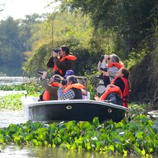
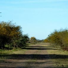
The region is large, and many parts lie away from major roads, so expect longer journeys between places. Areas near water are often best reached with a local guide or boat.
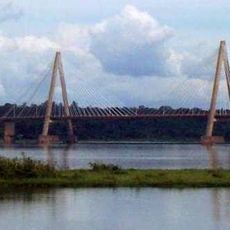
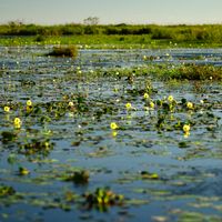
A quarter of the entire area consists of the Iberá Wetlands, a network of waters that forms South America's second-largest wetland system after the Pantanal. A dam on the river generates electricity jointly with Paraguay, powering both countries.
Location: Argentina
Capital city: Corrientes
Elevation above the sea: 96 m
Reference: CRR
Part of: South America Midwest Integrated Zone
Shares border with: Rio Grande do Sul, Chaco Province, Santa Fe Province, Entre Ríos Province, Misiones Province, Ñeembucú Department, Misiones Department, Itapúa, Artigas Department, Salto Department
Website: https://corrientes.gob.ar
GPS coordinates: -28.66000,-57.63000
Latest update: December 14, 2025 23:12
Yverá Wetlands
19.5 km
General Belgrano Bridge
179.3 km
Mission Nuestra Señora de los Tres Reyes de Yapeyú
120.1 km
San Roque González de Santa Cruz Bridge
224.4 km
Playa San José
227 km
Iberá National Park
69.1 km
Jaaukanigás
140.3 km
Isla del Cerrito
181.4 km
Paso de los Libres – Uruguaiana International Bridge
131.4 km
Puente Pexoa
162.9 km
Teatro Juan de Vera
178.2 km
Integration Bridge
157.9 km
Puente Internacional de la Concordia
223.9 km
Casa de Gobierno de Corrientes
178.4 km
Piedra Pintada
239.1 km
Área de protección ambiental Rincón de Franquía
171.3 km
Itá Pucú
76 km
St. Joseph's Cathedral, Posadas
223.3 km
Iberá Provincial Reserve
17.9 km
Centro del Conocimiento
215.9 km
Escuela Normal José Manuel Estrada
177.7 km
Casa de Gobierno de Misiones
223.3 km
Puente Internacional Bella Unión - Barra do Quaraí
172.9 kmFort Itapirú
178.4 kmAutódromo Rosamonte
215.5 km
Conjunto Urbano Plaza 25 de Mayo
178.5 km
Parque Estadual do Espinilho
170 km
Convento de San Francisco
178.3 kmVisited this place? Tap the stars to rate it and share your experience / photos with the community! Try now! You can cancel it anytime.
Bella Vista Department
Berón de Astrada Department
Capital Department
Esquina Department
General Paz Department
Goya Department
Itatí Department
Ituzaingó Department
Lavalle Department
Mburucuyá Department
Mercedes Department
Monte Caseros Department
Paso de los Libres Department
Saladas Department
San Cosme Department
San Luis del Palmar Department
San Martín Department
San Miguel Department
San Roque Department
Santo Tomé Department
Sauce Department
Discover hidden gems everywhere you go!
From secret cafés to breathtaking viewpoints, skip the crowded tourist spots and find places that match your style. Our app makes it easy with voice search, smart filtering, route optimization, and insider tips from travelers worldwide. Download now for the complete mobile experience.
A unique approach to discovering new places❞
— Le Figaro
All the places worth exploring❞
— France Info
A tailor-made excursion in just a few clicks❞
— 20 Minutes