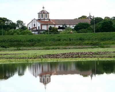
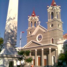
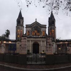
Pilar, town and district capital in Neembucu, Paraguay
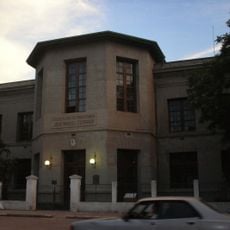
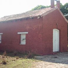
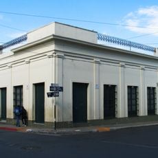
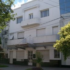
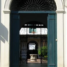
Pilar is a city in the Ñeembucú Department in Paraguay, situated along the river and marked by its colonial origins. It features the typical layout of a small Paraguayan city with a central plaza, modest homes, and local shops.
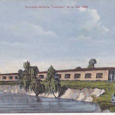
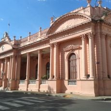
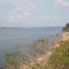
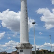
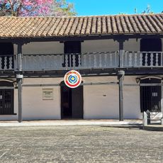
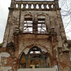
The city was founded during colonial times and developed as a trading and administrative center along the waterway. Its layout and buildings reflect these early roots and the way it was planned.
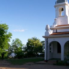
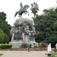
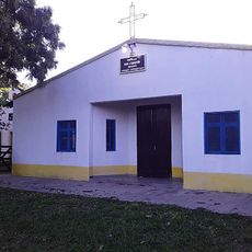
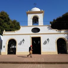
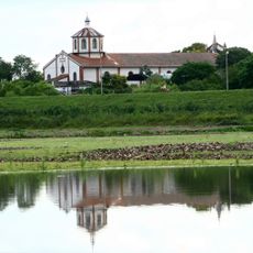
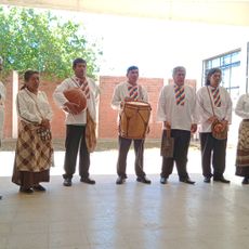
The name comes from devotion to Saint Pilar, reflecting the deep religious connection of the local people. This faith shapes how residents relate to their town center and daily gatherings.
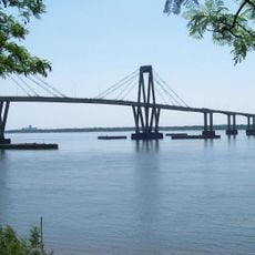
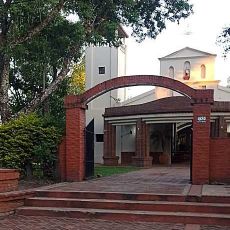
The city is easy to walk through since main spots are arranged around the central plaza. You will find local restaurants, shops, and can take walks near the river for a change of pace.
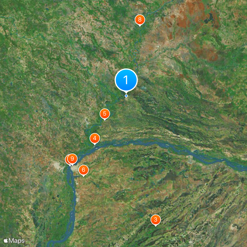
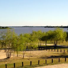
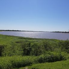
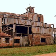
The city sits at a significant river location that historically was important for regional transport connections. This position continues to influence how people live and work here today.
The community of curious travelers
AroundUs brings together thousands of curated places, local tips, and hidden gems, enriched daily by 60,000 contributors worldwide.