Paraguay, Country in central South America
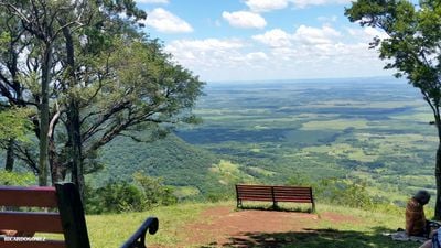
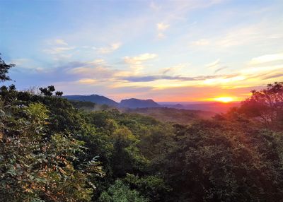
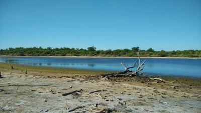
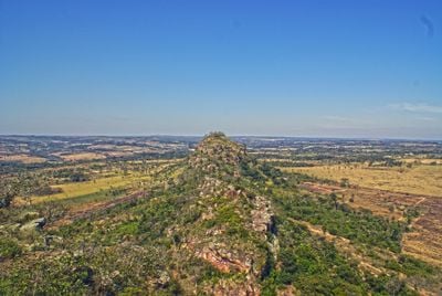
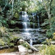
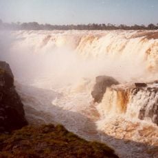
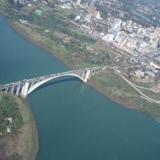
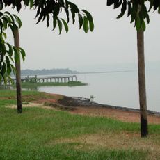
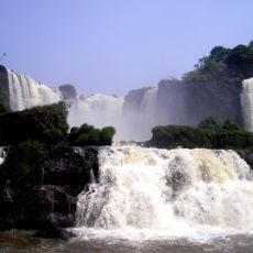
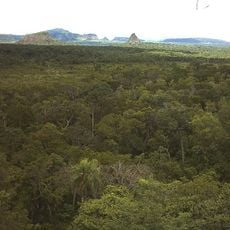
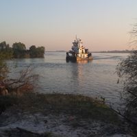
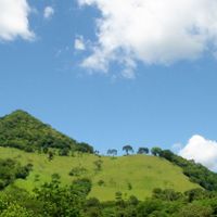
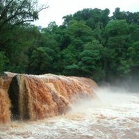
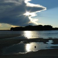
Paraguay is a landlocked nation in central South America, bordered by Brazil, Argentina, and Bolivia. The territory divides into forested hills and fertile plains east of the Río Paraguay and dry Chaco flatlands to the west.
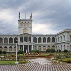
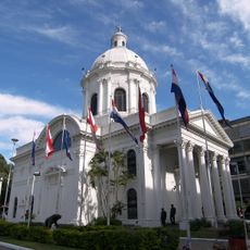
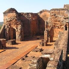
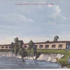
The republic emerged in 1811 after separating from Spanish rule and developed independent policies under different governments. The devastating War of the Triple Alliance between 1864 and 1870 transformed the nation deeply and shaped its further development into the 20th century.
The country uses Guaraní alongside Spanish in daily life, and you hear both languages in markets and on the streets. This bilingual practice reflects indigenous identity that appears in music, traditional harp playing, and local festivals.
Travelers reach the territory through the international airport near Asunción or via land connections from neighboring countries. The subtropical climate requires mosquito protection, especially from October to March when rainfall becomes more frequent.
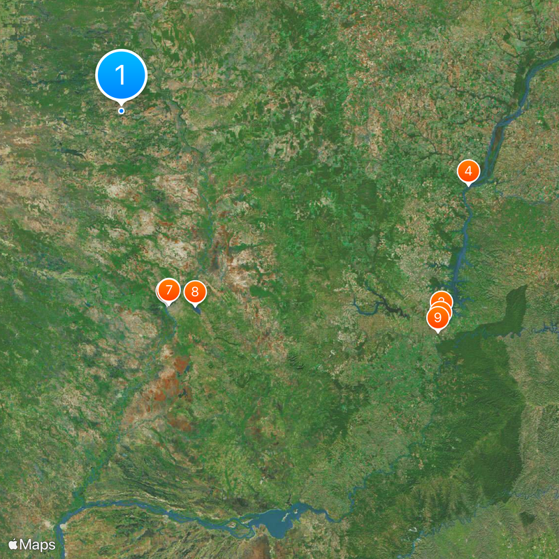
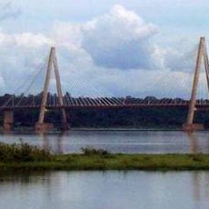
The Itaipú hydroelectric dam on the Brazilian border ranks among the largest installations of its kind worldwide and covers most electricity needs. Selling surplus energy to Brazil contributes significantly to state revenues.
The community of curious travelers
AroundUs brings together thousands of curated places, local tips, and hidden gems, enriched daily by 60,000 contributors worldwide.